Maaloula
معلولا
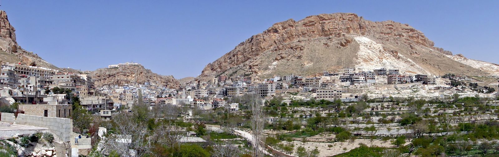
A Christian mountain village and one of the last places where Western Neo-Aramaic is spoken daily, home to two of the oldest Christian monastic sites in the Levant.
Maaloula is a village built into the cliffs of the Qalamoun mountains, at an altitude of roughly 1,500 meters, about 56 kilometers northeast of Damascus. Its name comes from the Aramaic word for "entrance," referring to its position at the mouth of a narrow mountain pass.
Maaloula is one of the last places in the world where residents still speak Western Neo-Aramaic in daily life, a modern descendant of the ancient Aramaic once spoken across the Levant before Arabic became dominant, alongside the neighboring villages of Bakhah and Jubb'adin.
The town is home to two notable Christian sites: the Convent of Saint Thecla (Mar Taqla), built around a grotto where local tradition holds that Thecla, a companion of St. Paul, took refuge from persecution; and the Monastery of Saints Sergius and Bacchus (Mar Sarkis), which houses a stone altar likely dating to the 4th or 5th century CE — among the oldest known Christian altars — with an architectural layout that echoes pre-Christian temples in the region.
Maaloula lies in Rif Dimashq Governorate, its houses rising one above another on the mountainside until the town looks carved from the rock. It is one of three villages where Western Neo-Aramaic survives as a daily language, with Jubb'adin and Bakhah, spoken there by Christians and Muslims alike. Its narrow valley holds the pilgrimage sites of the Convent of Saint Thecla and the Monastery of Saints Sergius and Bacchus, and the town marks the Feast of the Cross in September with bonfires on the peaks. Its name, "entrance" in Aramaic, describes its position at a narrow mountain pass leading into the Qalamoun.
Through the ages
Byzantine: The stone altar at the Monastery of Saints Sergius and Bacchus likely dates to the 4th or 5th century CE
For the visitor
Location: 33.8442, 36.5467 · Open on the map
Photos
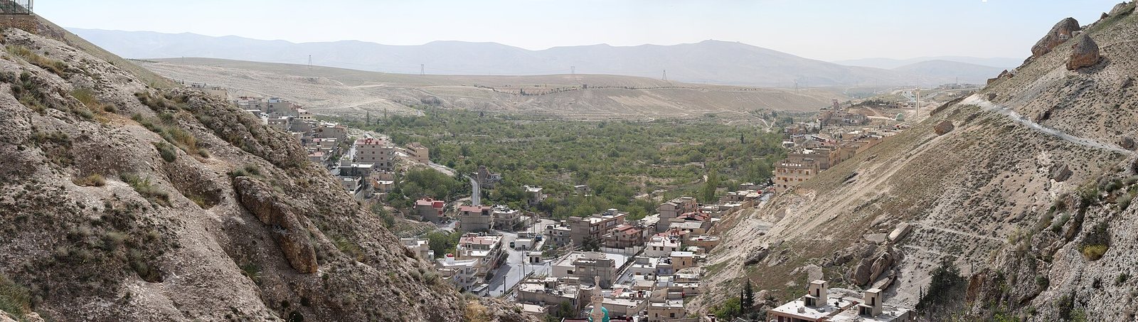
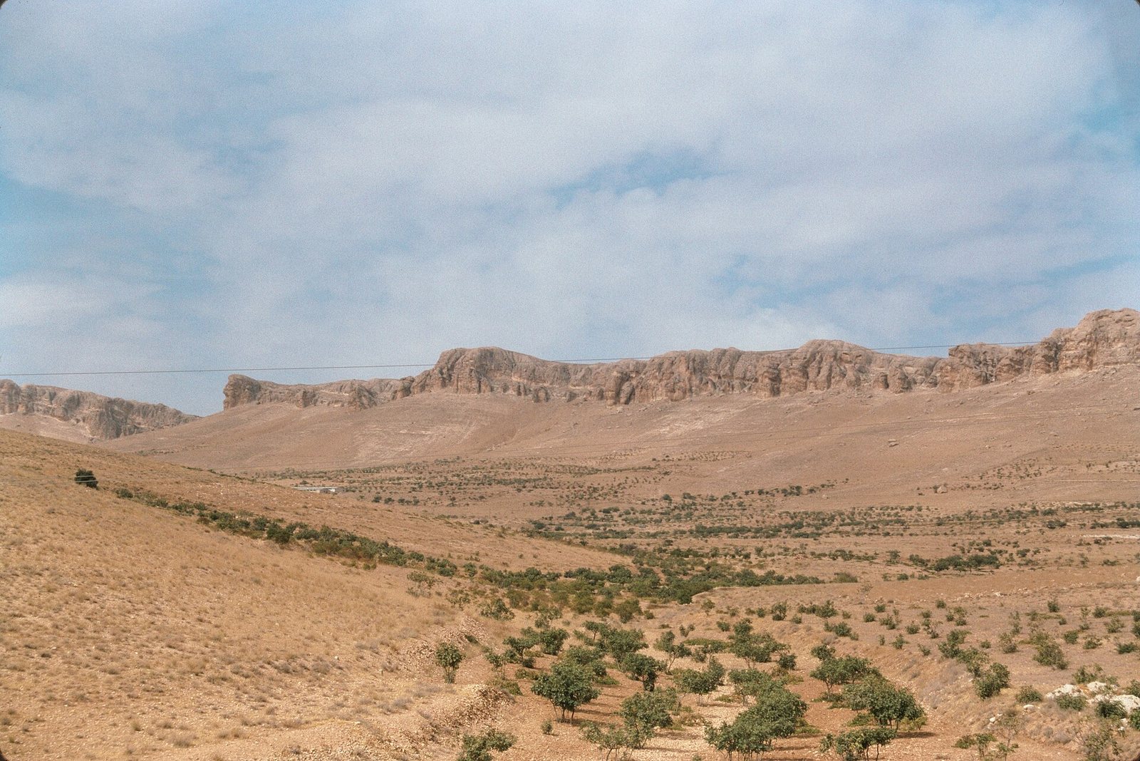
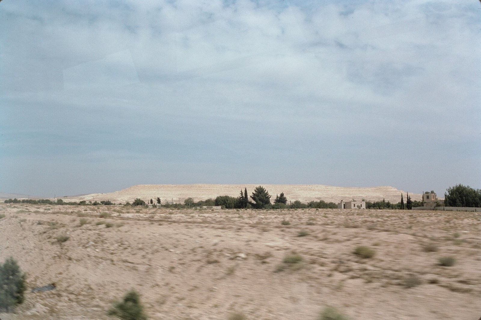
Photos: Bernard Gagnon — via Wikimedia Commons (CC BY-SA) · Eusebius@Commons — via Wikimedia Commons (CC BY) · Frank Kidner — via Wikimedia Commons (CC BY-SA)
Syria Trails — An interactive geographic and heritage atlas of Syria: a map that walks down from the country to the district, landmarks with their story and era, curated trails and a passport for your visits.