Yarmouk River
نهر اليرموك
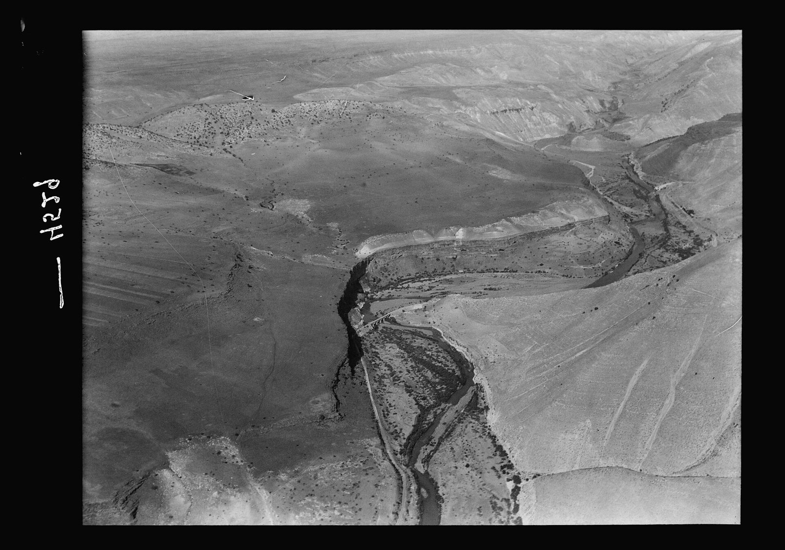
A historic river forming part of Syria's southwestern border, its name tied to the decisive Battle of Yarmouk in 636 AD.
The Yarmouk River is one of the historic rivers of southern Syria, forming part of the southwestern border line between Syria and Jordan, and rises in the Hauran highlands before flowing south into the Jordan River.
The river gained its global historical fame from its association with the Battle of Yarmouk, fought in its vicinity in 636 AD between the armies of the Rashidun Caliphate led by Khalid ibn al-Walid and the Byzantine Empire, ending in a decisive Muslim victory that effectively ended Byzantine rule over the Levant and opened the way for the complete Islamic conquest of the region -- making it one of the most decisive battles in both Islamic and world history.
The river valley is characterized by relatively rugged mountainous terrain, surrounded by agricultural areas in Daraa governorate that benefit from its waters, in addition to its value as an attractive natural site for those interested in exploring Syria's southern border regions.
The Yarmouk River remains a site of deep historical significance beyond its geographic value, as the stage for one of the most influential battles in shaping the map of the modern Middle East.
For the visitor
Location: 32.6500, 35.8300 · Open on the map
Photos
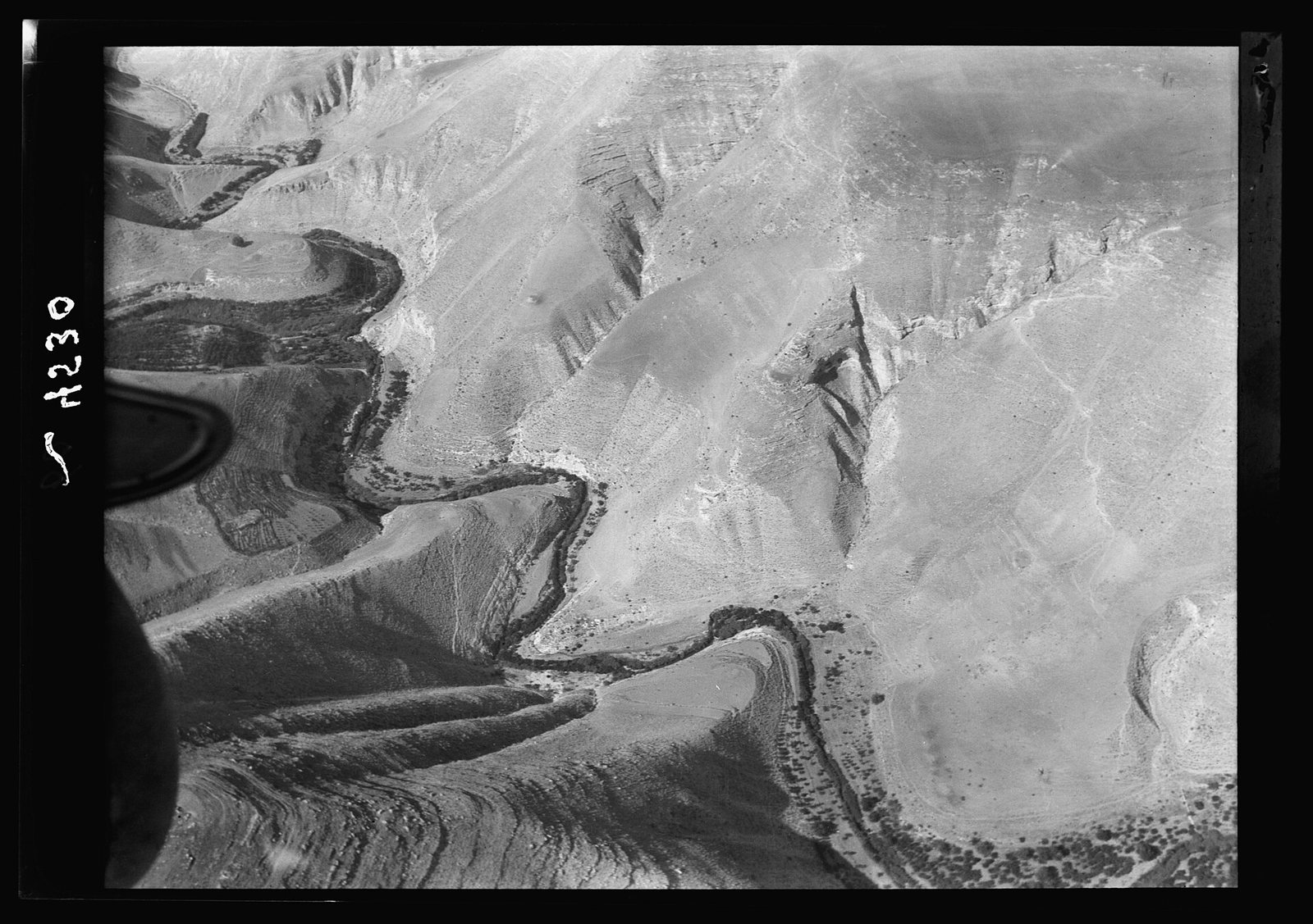
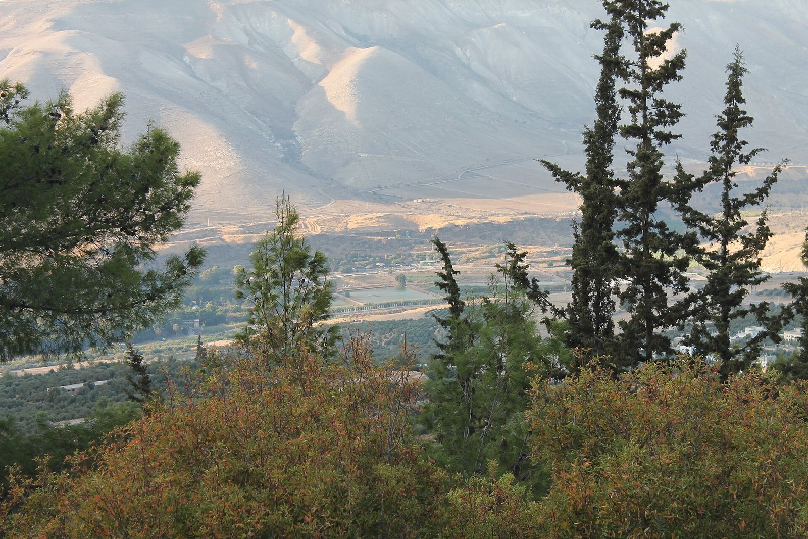
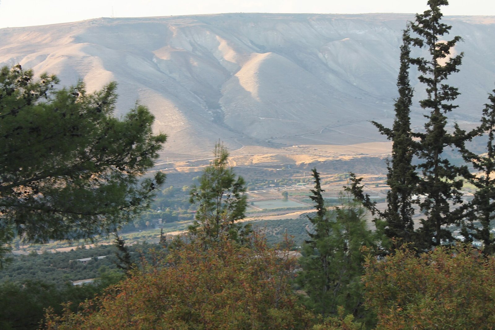
Photos: Matson Collection — via Wikimedia Commons (Public domain) · Freedom's Falcon — via Wikimedia Commons (CC BY-SA)
Syria Trails — An interactive geographic and heritage atlas of Syria: a map that walks down from the country to the district, landmarks with their story and era, curated trails and a passport for your visits.