Ugarit
أوغاريت
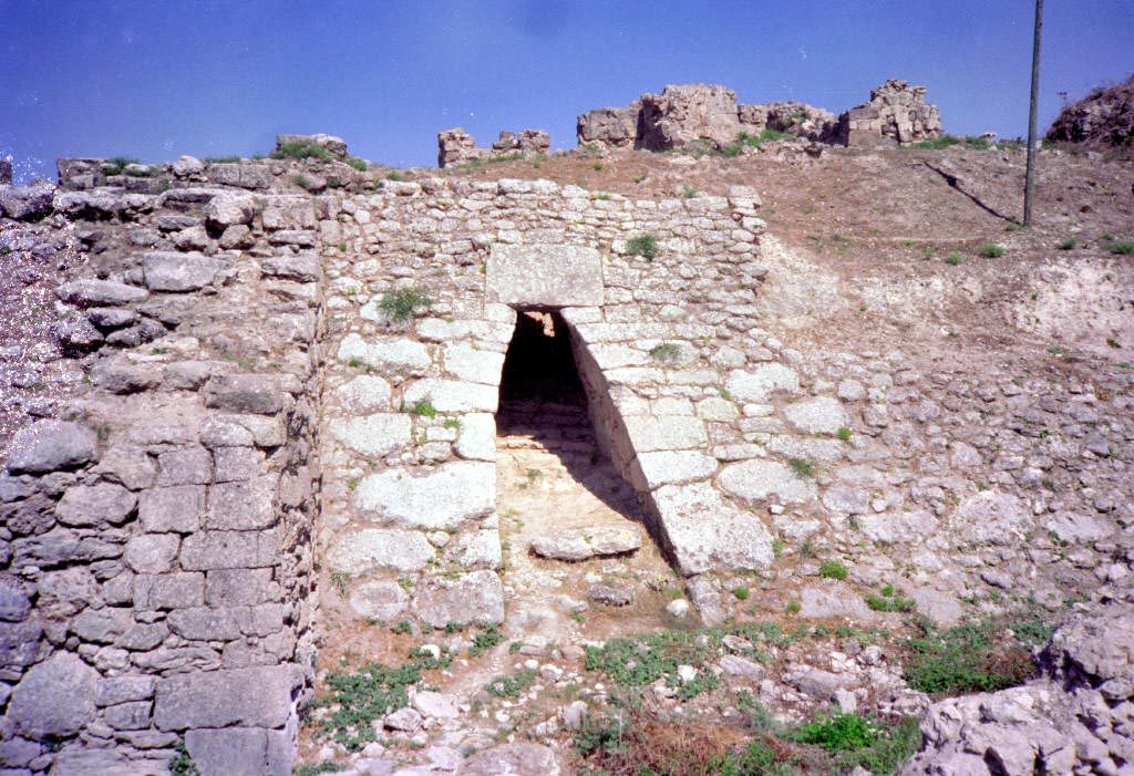
A Bronze Age city-state famous for the discovery of the Ugaritic alphabet, one of the earliest known alphabets and a foundation for later alphabetic writing systems.
Ugarit is an ancient city at the Ras Shamra mound north of Latakia. It was a prosperous port city-state during the Late Bronze Age, reaching its height between the 14th and 12th centuries BCE as a trading crossroads linking Mesopotamia, Egypt, Anatolia, and the Aegean.
The site was discovered by chance by a farmer in 1928, and excavations began in 1929 under the French archaeologist Claude Schaeffer. Ugarit became world-famous for the discovery of the Ugaritic alphabet, one of the earliest known alphabets in history, consisting of around thirty cuneiform signs representing consonants — a landmark moment in the development of alphabetic writing, which later gave rise to the Phoenician, Hebrew, Greek, and Latin alphabets.
Clay tablets found in the royal palace archive and a temple library revealed administrative records and diplomatic correspondence, as well as major Canaanite mythological and religious texts, most notably the "Baal Cycle" — a key source for understanding ancient Canaanite religion and its possible influence on later religious literature.
Excavations show occupation from the 8th millennium BC, though research has focused on the Late Bronze Age levels. Ugarit's scribes developed the oldest systematically used alphabet around 1400 BC, thirty letters corresponding to sounds. Its last king, Ammurapi (about 1215–1180 BC), was a contemporary of the last known Hittite king and wrote letters asking for help from the king of Alashiya and the Hittite viceroy at Carchemish, as invaders had taken the kingdom's other port, Ra'shu (Ras Ibn Hani), and their advance forces were heading for Ugarit.
The city was destroyed sometime between 1190 and 1185 BCE, likely amid the widespread upheavals known as the Late Bronze Age Collapse, and was never significantly rebuilt or resettled afterward, which helped preserve its final urban layout largely intact.
Through the ages
Bronze Age: The city flourished as a trading port between the 14th and 12th centuries BCE before its destruction in the Late Bronze Age Collapse
For the visitor
Location: 35.6020, 35.7820 · Open on the map
Photos
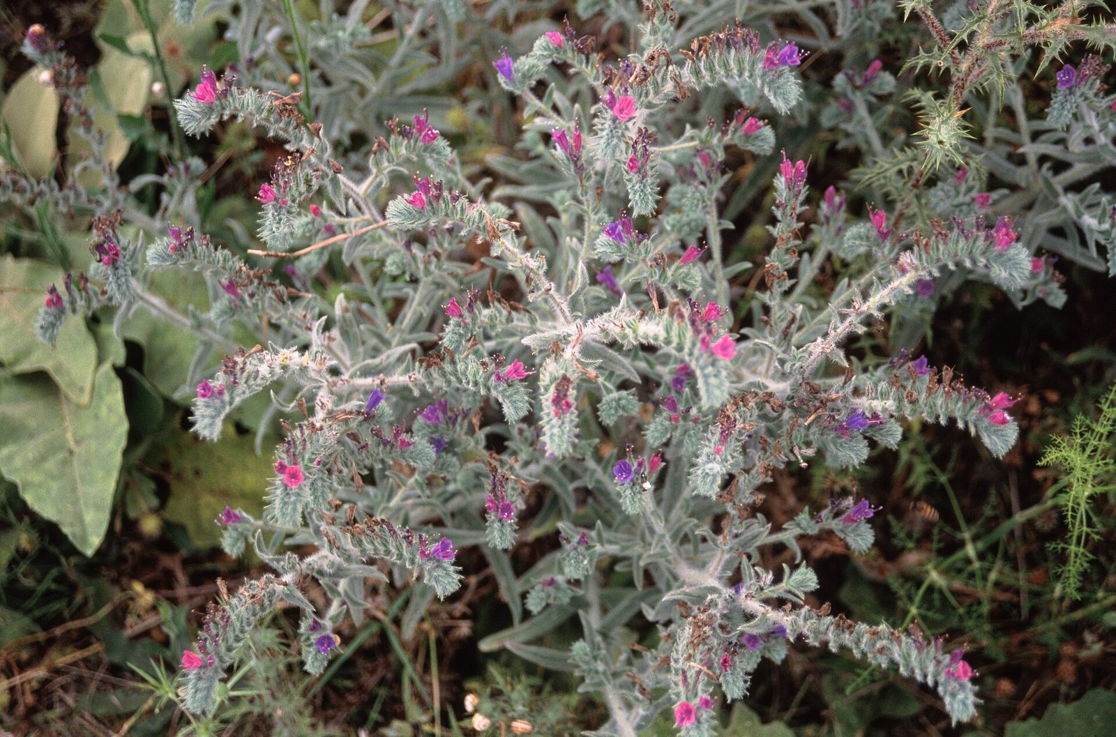
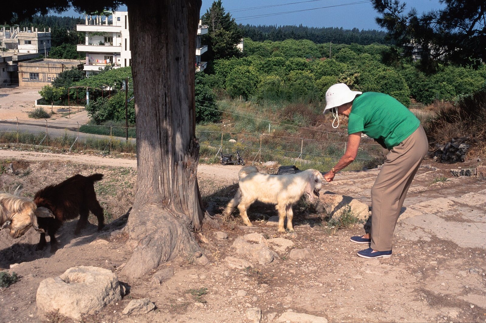
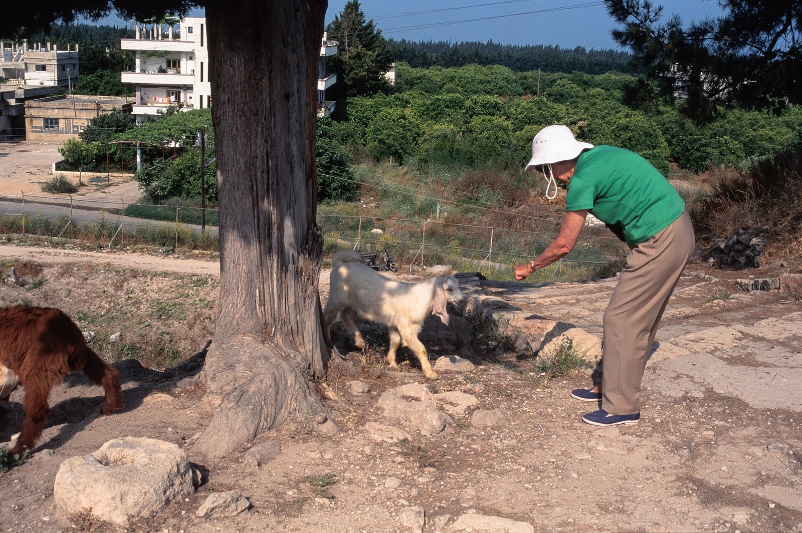
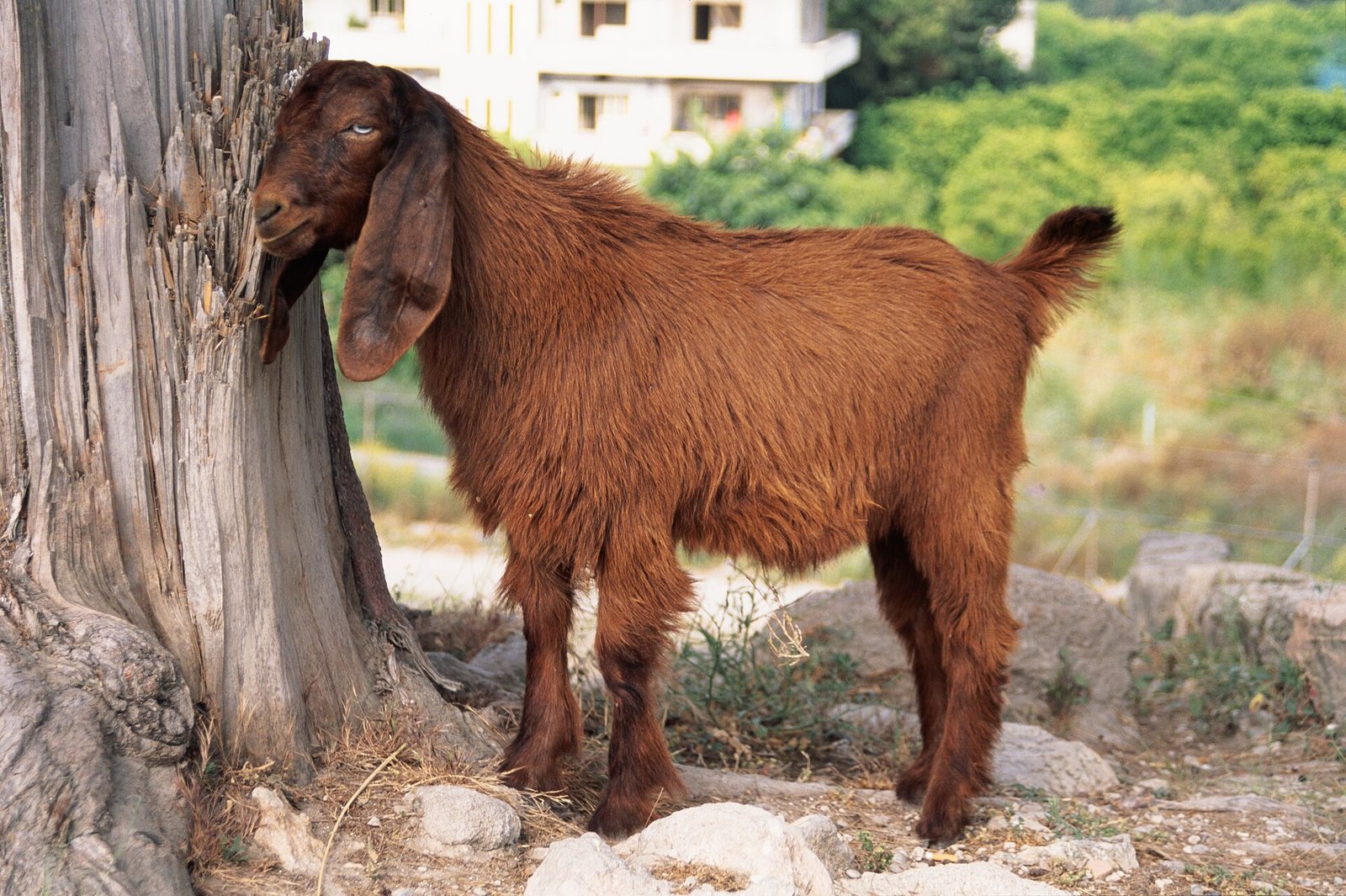
Photos: Mr. Benoist — via Wikimedia Commons (CC BY-SA) · Frank Kidner — via Wikimedia Commons (CC BY-SA)
Syria Trails — An interactive geographic and heritage atlas of Syria: a map that walks down from the country to the district, landmarks with their story and era, curated trails and a passport for your visits.