Tell Halaf
تل حلف
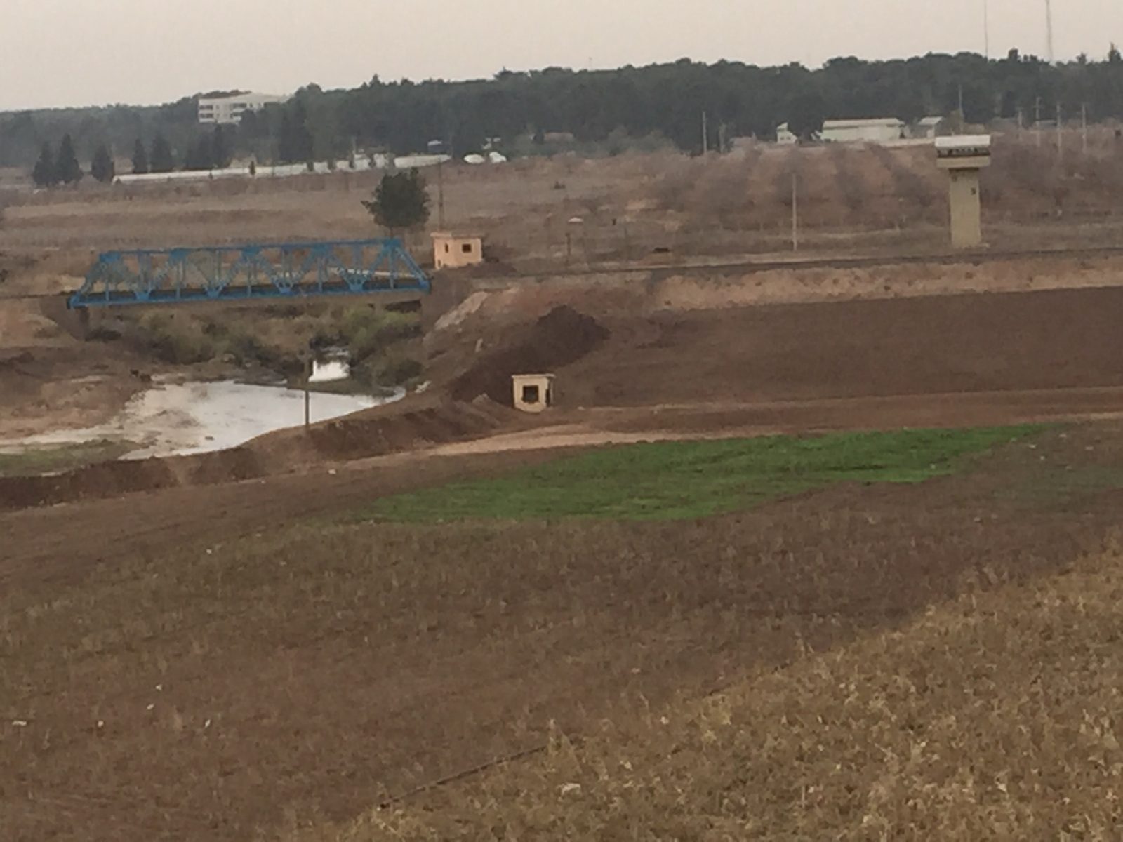
An archaeological mound at the source of the Khabur River, namesake of the Neolithic Halaf culture, later capital of an Aramaean city-state famous for its massive basalt sculptures.
Tell Halaf is a large archaeological mound near the town of Ras al-Ain, at the headwaters of the Khabur River close to the Syria-Turkey border. The earliest known settlement there dates to the sixth millennium BCE. The site gives its name to the "Halaf culture," one of the most important Neolithic cultures of the ancient Near East, which flourished roughly between 6100 and 5400 BCE and is known for its distinctive painted pottery with geometric and animal motifs.
In the Iron Age, the site later became the capital of an Aramaean city-state known as Guzana (Bit-Bahiani), which flourished between the 10th and 8th centuries BCE and is known for the massive basalt reliefs and sculptures that decorated the palace of its ruler, Kapara.
The German archaeologist Max von Oppenheim began excavating the site in 1899 and carried out major campaigns between 1911–1913 and 1927–1929, uncovering Kapara's palace and a large number of statues and reliefs, many of which were transported to Berlin. Most of the Berlin collection was destroyed in an air raid during World War II in 1943, before some pieces were painstakingly reassembled from scattered fragments in a long restoration project, with the reconstructed collection reopening at Berlin's Pergamon Museum in 2011.
The Ubaid culture (about 5300–4300 BC) succeeded the Halaf culture in northern Mesopotamia, and the site was then abandoned for a long period. In the Late Bronze Age the Mitanni Empire controlled the region in the 15th century BC until about 1345 BC; when Suppiluliuma I of Hatti conquered Carchemish, Tell Halaf became a Hittite city led by the viceroy of Carchemish, and in the Iron Age Guzana became a Neo-Hittite and Aramaean kingdom. Tell Halaf is the type site of the Halaf culture and the first site excavated from a Neolithic culture later named after it.
Through the ages
Prehistoric: The site gave its name to the Neolithic Halaf culture, which flourished between 6100 and 5400 BCE
Aramaic: The site became the capital of the Aramaean city-state of Guzana between the 10th and 8th centuries BCE
For the visitor
Location: 36.8266, 40.0396 · Open on the map
Photos
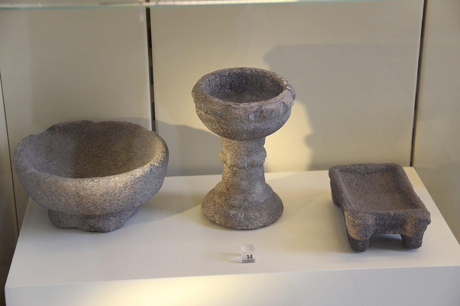
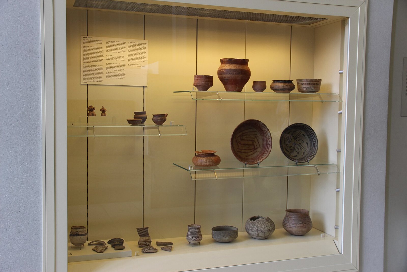
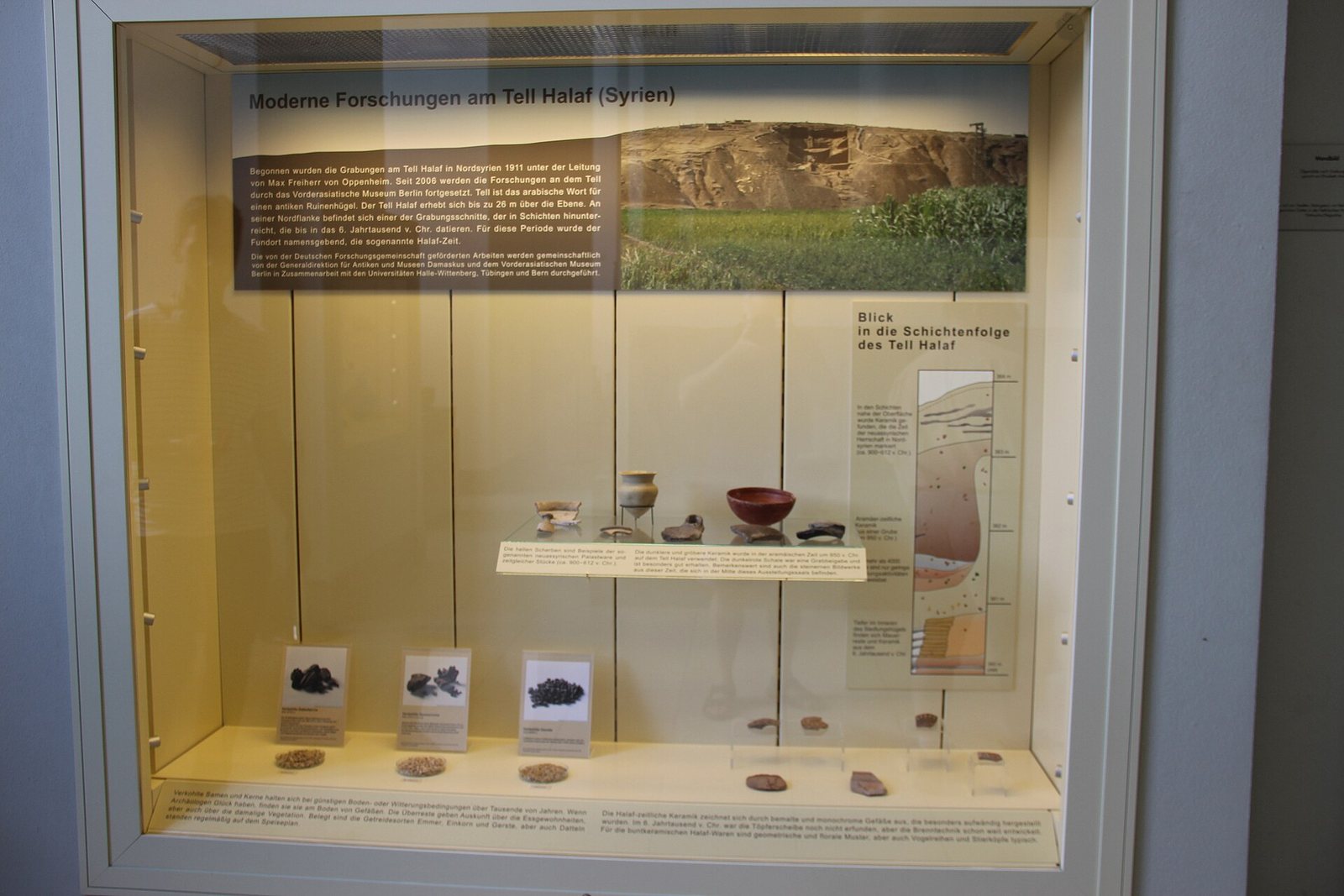
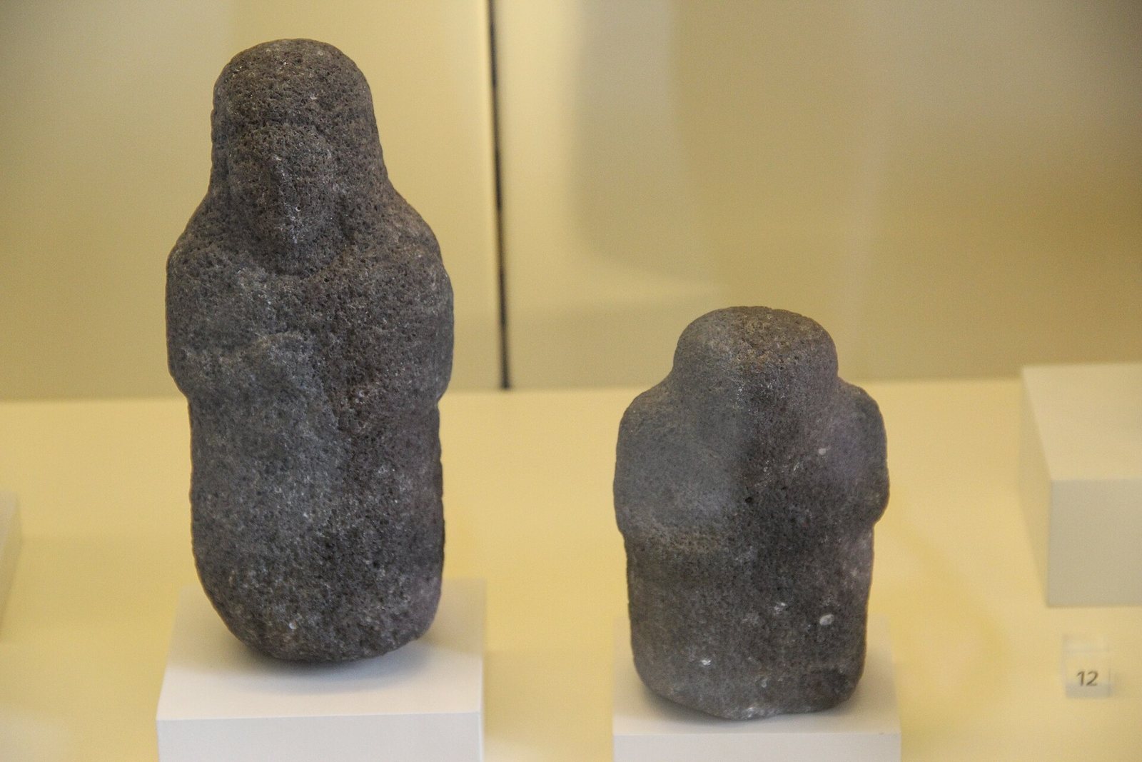
Photos: Janet Biehl — via Wikimedia Commons (CC BY-SA) · Gary Todd from Xinzheng, China — via Wikimedia Commons (CC0)
Syria Trails — An interactive geographic and heritage atlas of Syria: a map that walks down from the country to the district, landmarks with their story and era, curated trails and a passport for your visits.