Tell Brak
تل براك
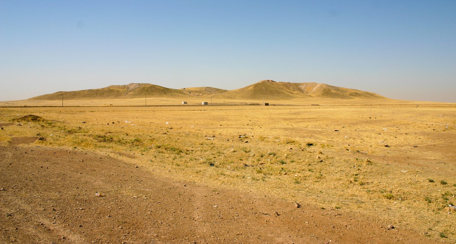
A vast archaeological mound on the Wadi Jaghjagh, one of the world's earliest known cities and a major urban center in Upper Mesopotamia since the sixth millennium BCE.
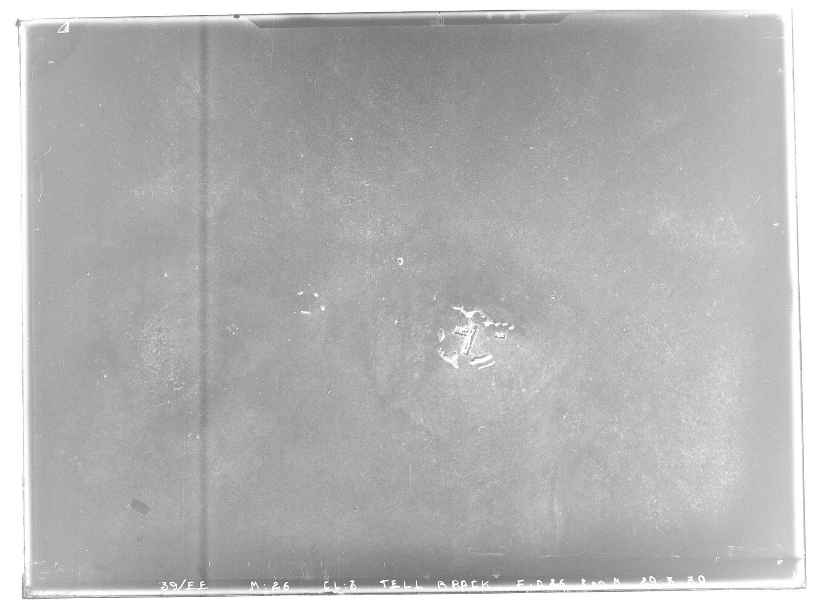
Tell Brak is a vast archaeological mound on the Wadi Jaghjagh, a tributary of the Khabur River, about 30 km northeast of the city of Al-Hasakah. The earliest known settlement at the site dates to the sixth millennium BCE. The mound rises to about 40 meters and covers an area of roughly 60 hectares, making it one of the largest archaeological tells in northeastern Syria.
The site underwent early urban development that made Tell Brak one of the earliest known cities in the world — in some phases possibly predating the rise of the great cities of southern Mesopotamia. The ancient city was known in cuneiform texts as Nagar, and sometimes Nawar, and it served as an important regional center during the Bronze Age, including during the period of Akkadian imperial influence, when it hosted an advanced administrative center.
Among the site's most notable discoveries are thousands of small stone figurines known as the "Eye Idols," characterized by exaggerated large eyes and dating to the fourth millennium BCE. Large temples, administrative buildings, and a grain-storage system have also been uncovered at the site, all reflecting its early degree of urban organization.
Excavations at Tell Brak began in 1937 under the British archaeologist Max Mallowan, and resumed later under Cambridge University expeditions led by David and Joan Oates from 1976 until the late 20th century. These excavations have substantially reshaped academic understanding of the origins of the earliest cities in the ancient Near East, making Tell Brak a key reference in the study of early urbanization.
Through the ages
Prehistoric: The earliest known settlement at the site dates to the sixth millennium BCE
Bronze Age: A major urban and administrative center during the Bronze Age, including the period of Akkadian imperial influence
For the visitor
Location: 36.6676, 41.0586 · Open on the map
Photos
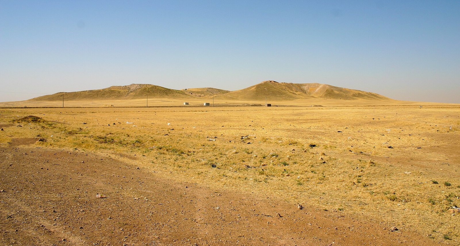
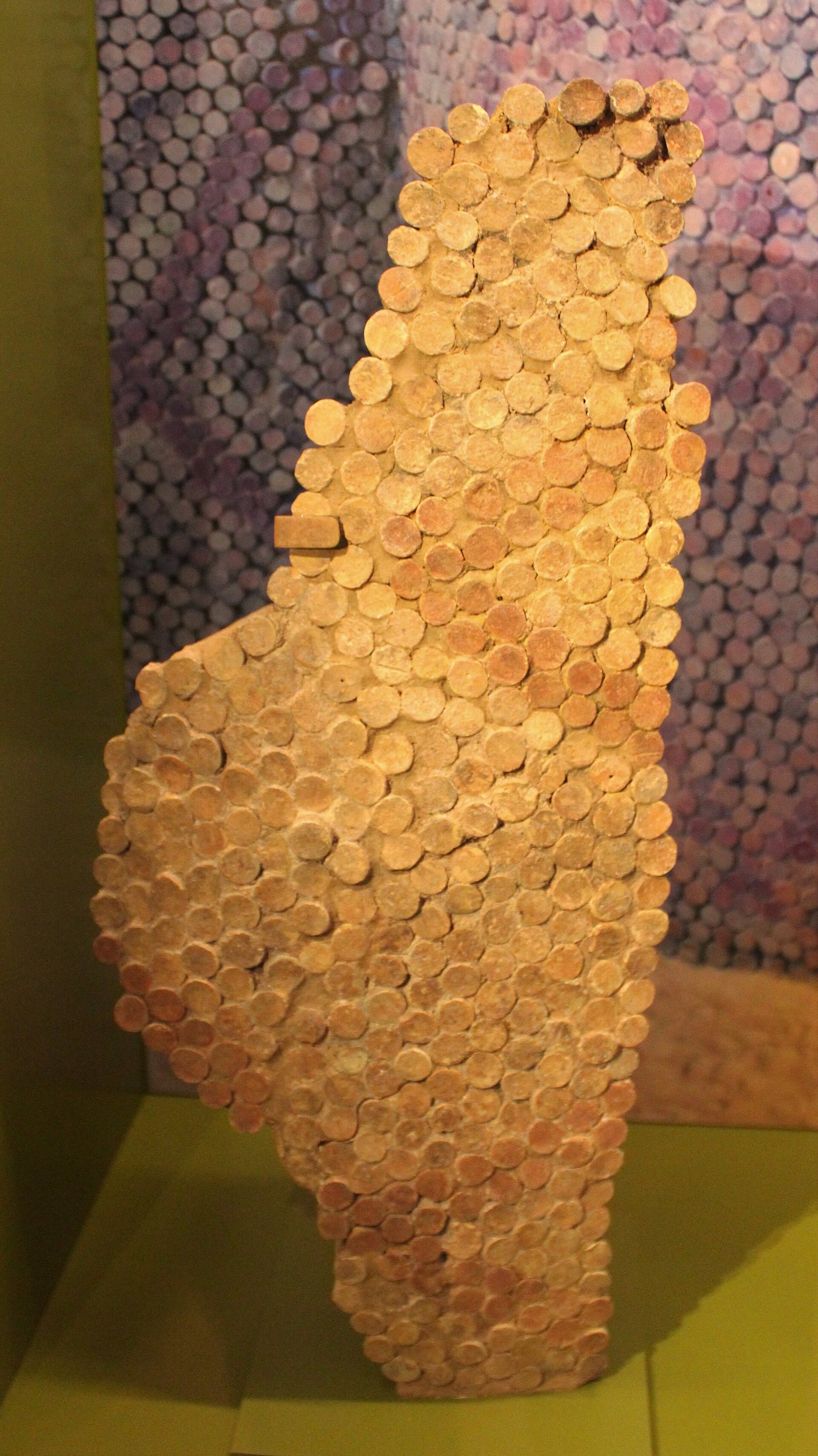
Photos: Zoeperkoe — via Wikimedia Commons (CC BY-SA) · Zunkir — via Wikimedia Commons (CC BY-SA) · Army of the Levant — via Wikimedia Commons (CC BY)
Syria Trails — An interactive geographic and heritage atlas of Syria: a map that walks down from the country to the district, landmarks with their story and era, curated trails and a passport for your visits.