Tell Abu Hureyra
تل أبو هريرة
Prehistoric site on the Euphrates, among the earliest places showing the beginnings of farming, flooded by Lake Assad after excavation.
On the south bank of the Euphrates, in an area now under Lake Assad in Raqqa governorate, lay Tell Abu Hureyra, one of the world's key sites for understanding the origins of farming.
Before the Tabqa Dam in the 1970s, an international salvage campaign led by Andrew Moore excavated it rapidly, gathering vast data before it was flooded. It revealed a village of hunter-gatherers over 13,000 years old and a large later Neolithic farming village — a record of the shift from foraging to agriculture, including very early evidence of cultivated rye and the role of climate change.
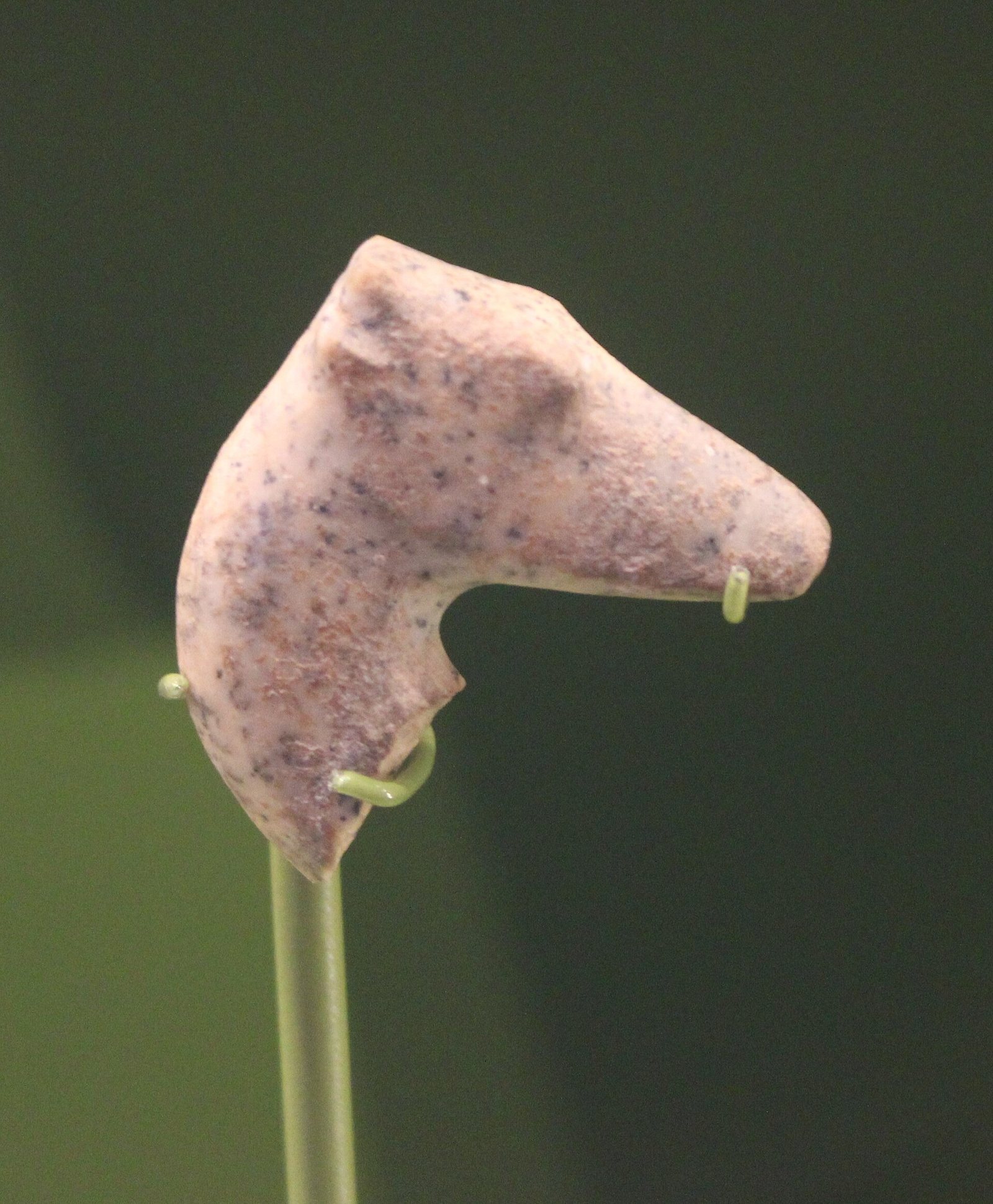
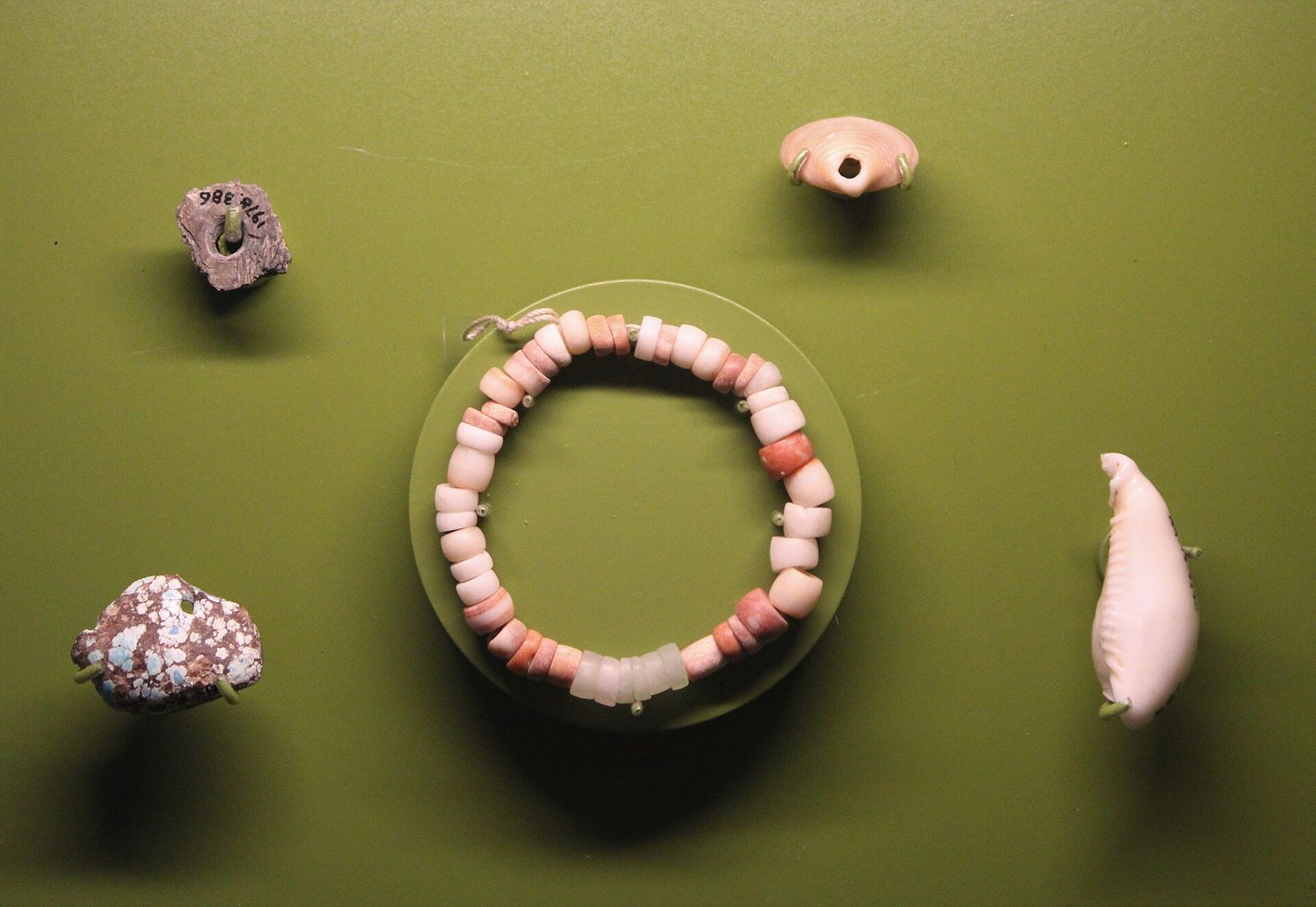
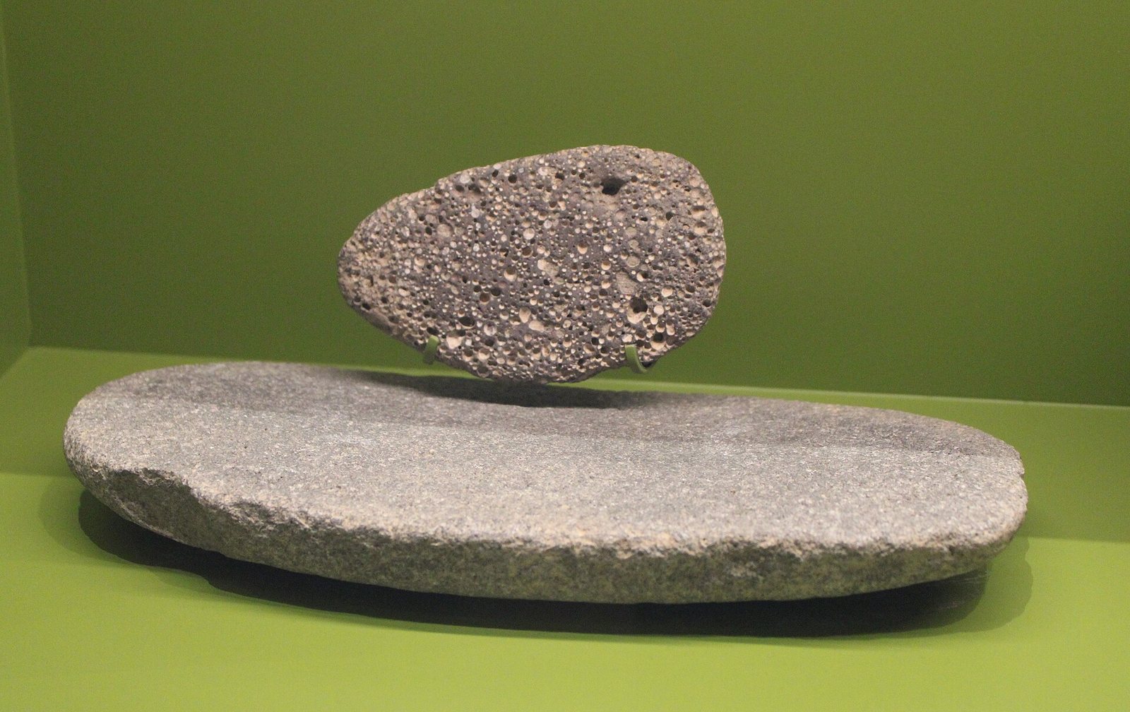
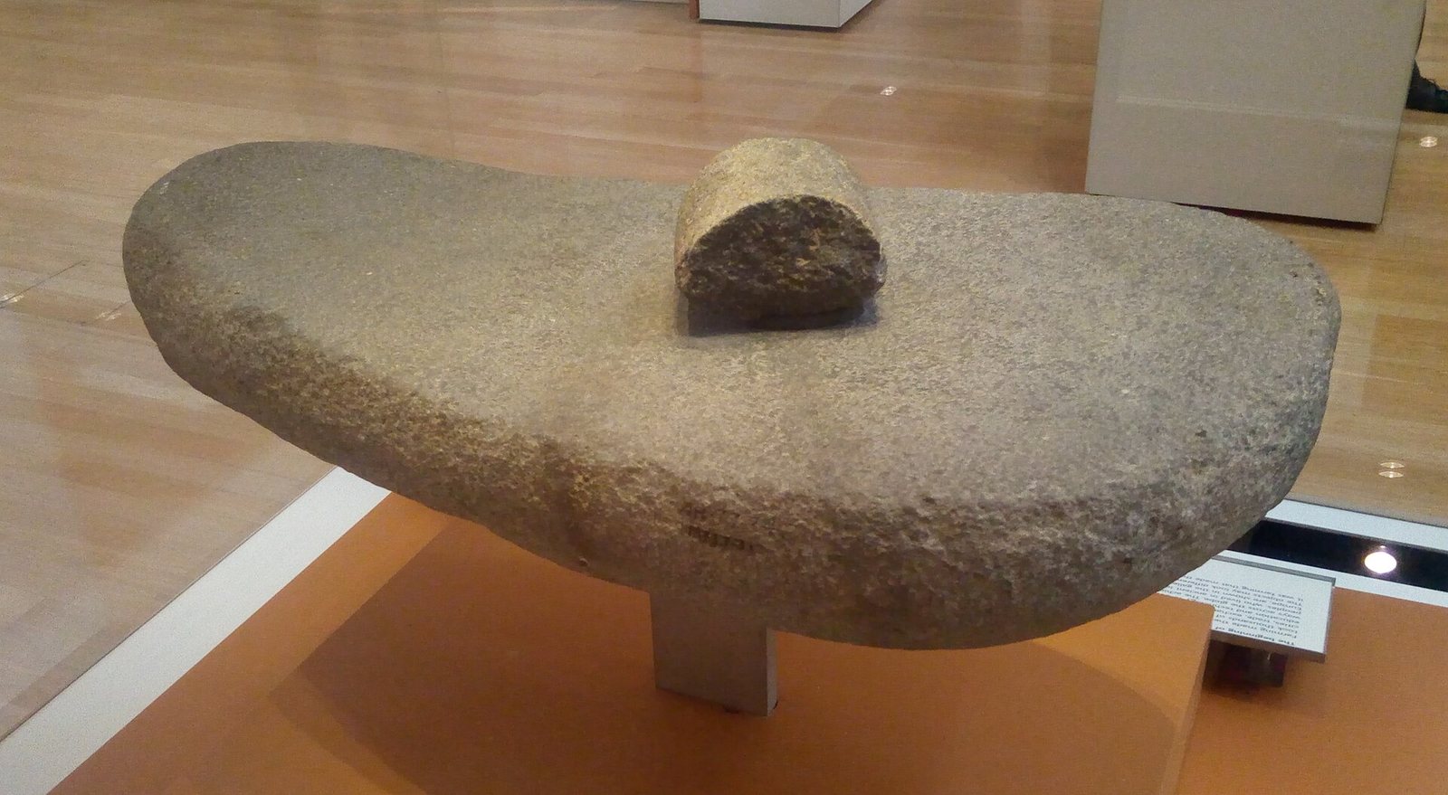
Some finds from the site, including beads, pendants, gazelle heads and grinding stones, are kept in the Ashmolean Museum in Oxford.
Studies of skeletons showed the physical toll of early farm labour. The site lies under the lake, but it remains central to the human story.
Note: photos may not reflect the site's current condition.
For the visitor
Location: 35.8667, 38.4000 · Open on the map
Photos
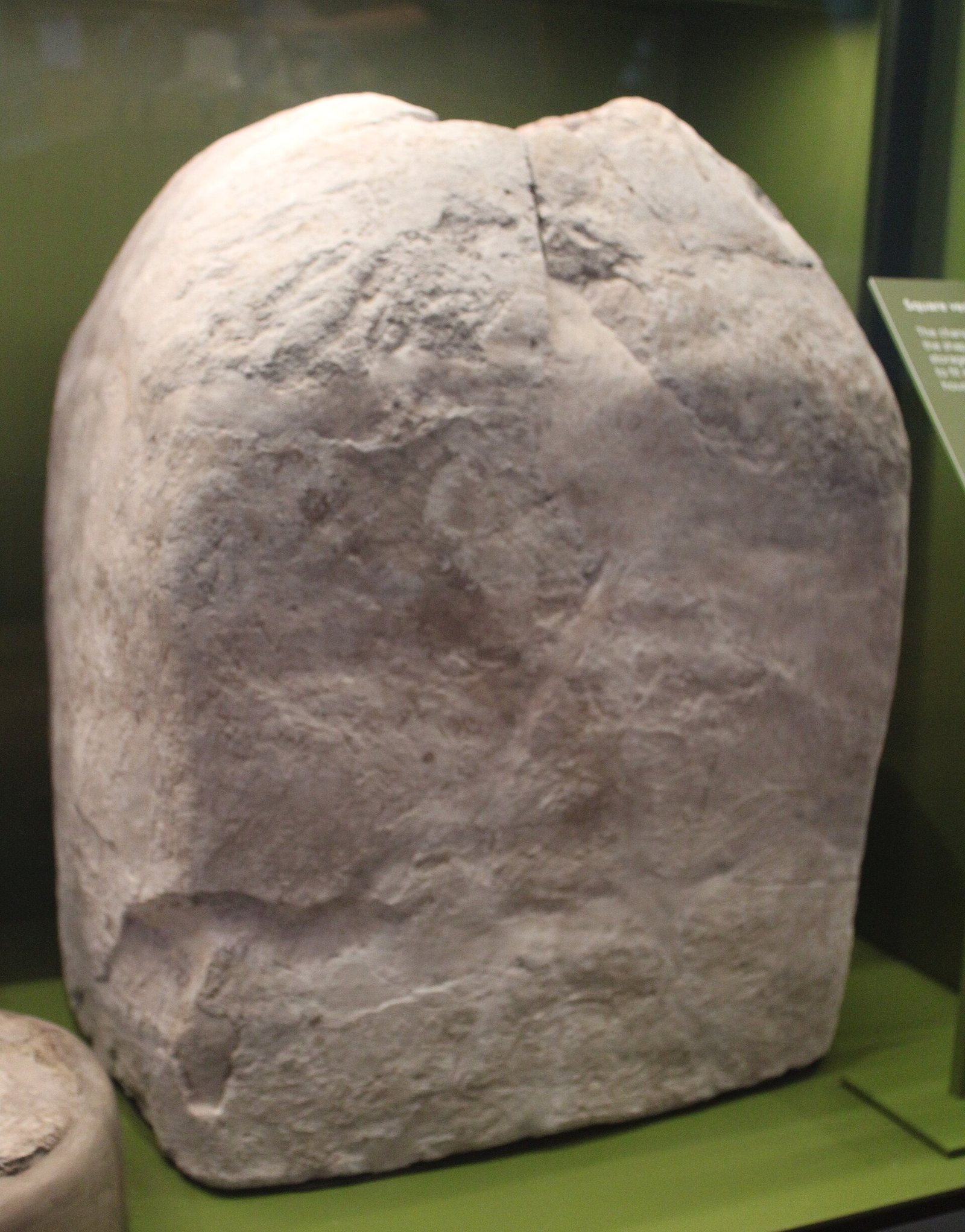
Photos: Zunkir — via Wikimedia Commons (CC BY-SA)
Syria Trails — An interactive geographic and heritage atlas of Syria: a map that walks down from the country to the district, landmarks with their story and era, curated trails and a passport for your visits.