Serjilla
سرجلة
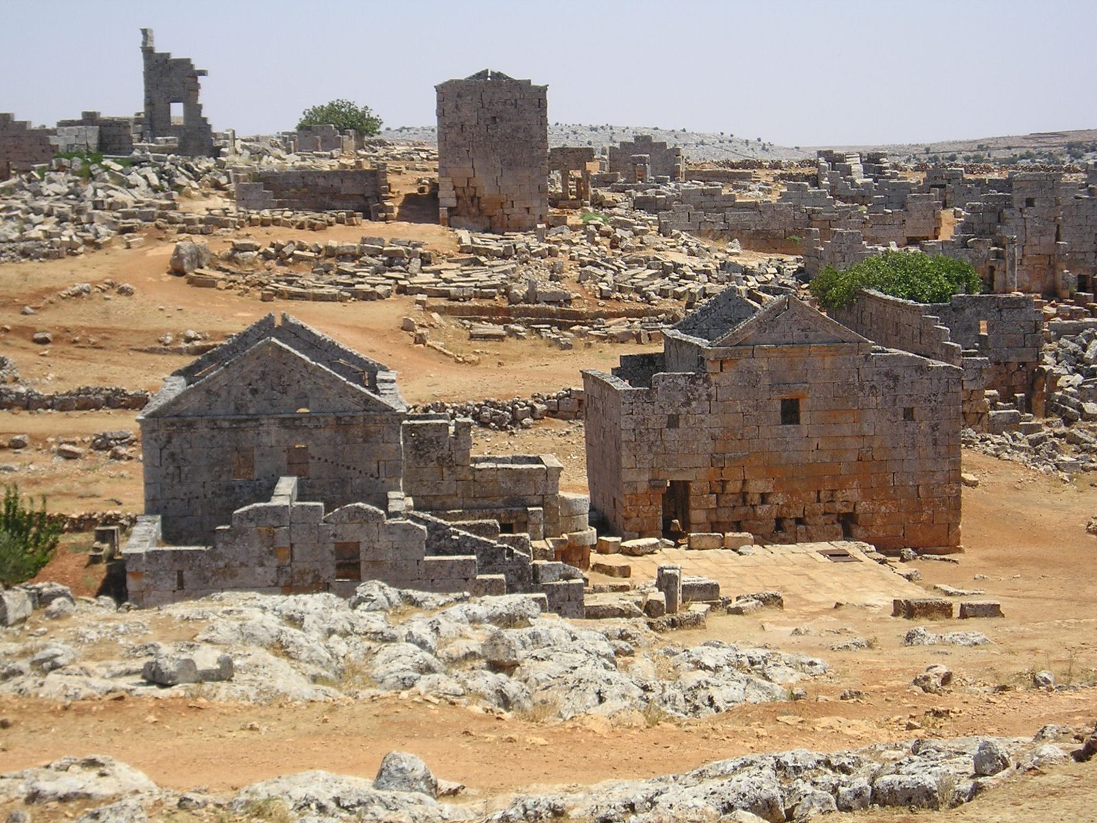
An abandoned Byzantine village among northwestern Syria's "Dead Cities," which prospered from olive cultivation between the 4th and 6th centuries CE and is among the best-preserved of them.
Serjilla is one of the "Dead Cities" scattered across the limestone hills of northwestern Syria — abandoned Byzantine-era villages that flourished mainly between the 4th and 6th centuries CE. It is one of the best-preserved of these villages, largely because it was gradually abandoned and never rebuilt or resettled afterward.
Serjilla's economy relied on olive cultivation and olive oil production. It retains well-preserved stone houses, a relatively large public bathhouse for a rural village of its size — pointing to notable prosperity — along with an andron (a communal hall or tavern), carved tombs, and a church.
The village was gradually abandoned sometime between the 10th and 12th centuries for reasons that remain unsettled; researchers have proposed several explanations, including climate change, shifting trade routes, and a decline in the olive oil trade, without reaching scholarly consensus.
Serjilla contains about 700 sites and lies in the Jebel Riha, about 65 km north of Hama and 80 km south-west of Aleppo, very close to another Dead City, Bara. It arose in a natural basin and prospered from grapes and olives; its Byzantine settlement was built in 473, and Thomas Joseph Shanan called it the "Pompeii of the East". The French archaeologist de Vogüé made the first scientific studies in the 1860s, and in 1899 a Princeton team found a large mosaic on the floor of the main hall. Next to the baths stands the andron, a men's meeting place; further east was a small church; among the houses is a two-storey villa, and behind it a sunken building with an olive press. Limestone quarrying was a mature industry there, sometimes right under buildings.
Serjilla was inscribed, as part of the "Ancient Villages of Northern Syria" site, on the UNESCO World Heritage List in 2011.
Through the ages
Byzantine: The village prospered from olive cultivation between the 4th and 6th centuries CE
Abbasid: The village was gradually abandoned between the 10th and 12th centuries CE
For the visitor
Location: 35.6700, 36.5690 · Open on the map
Photos
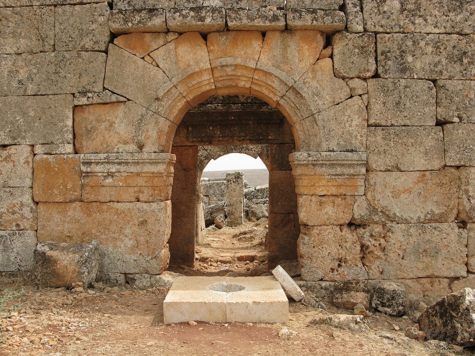
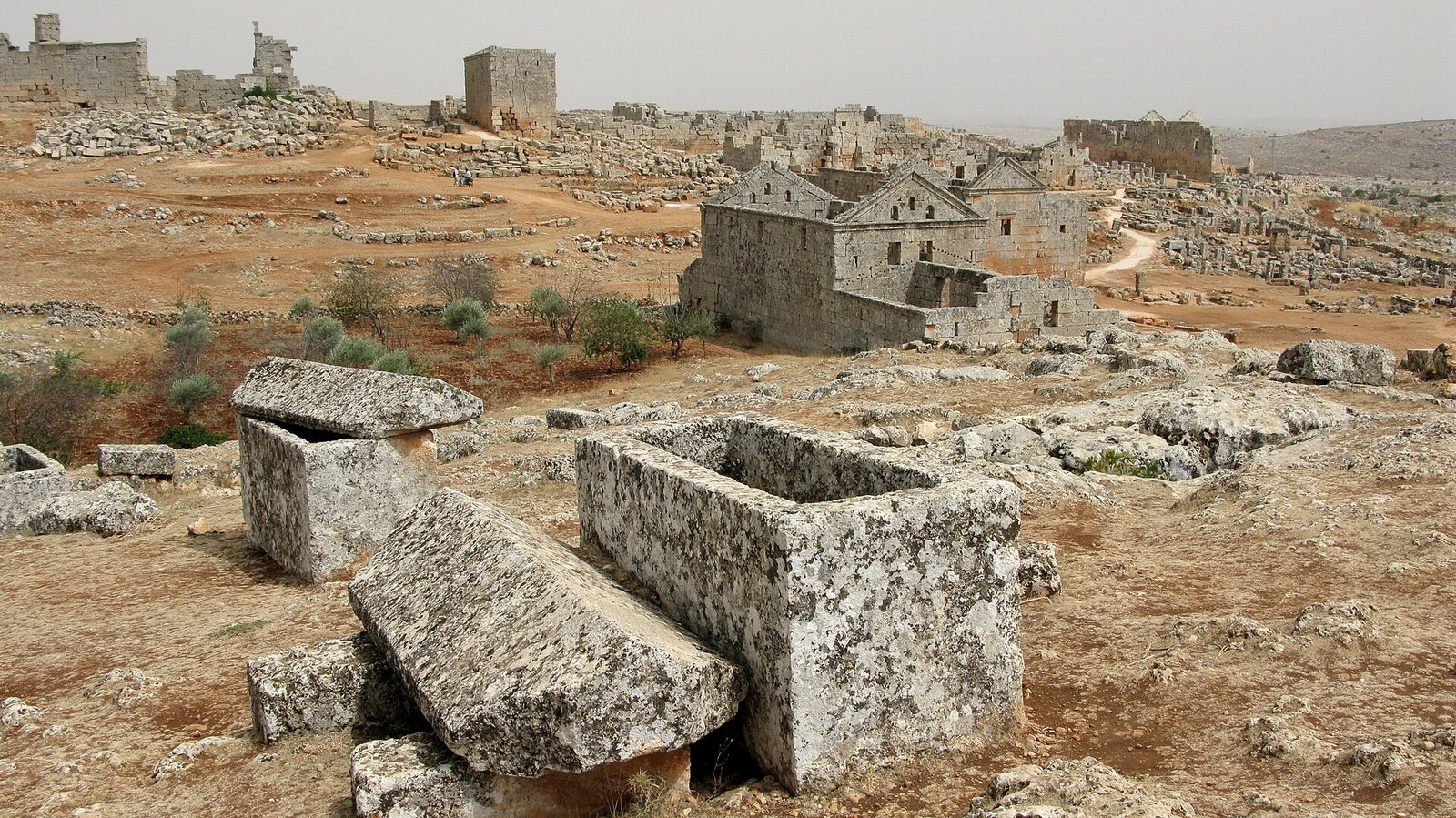
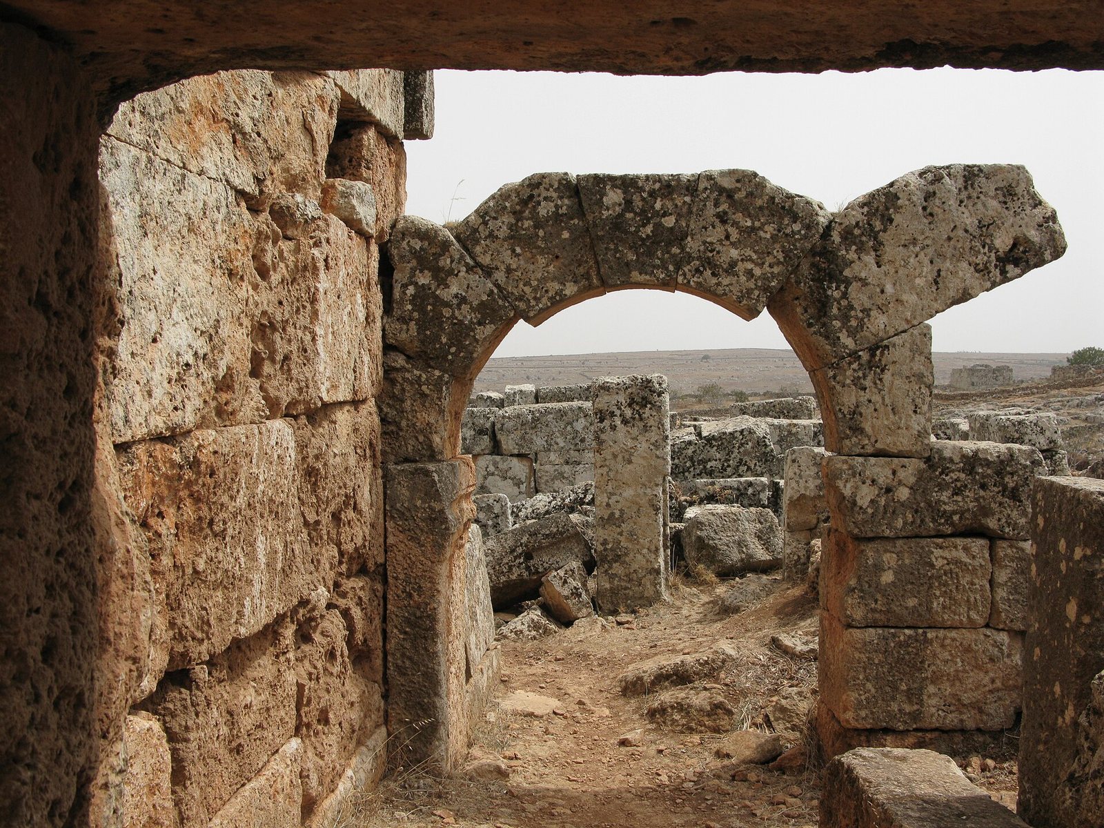
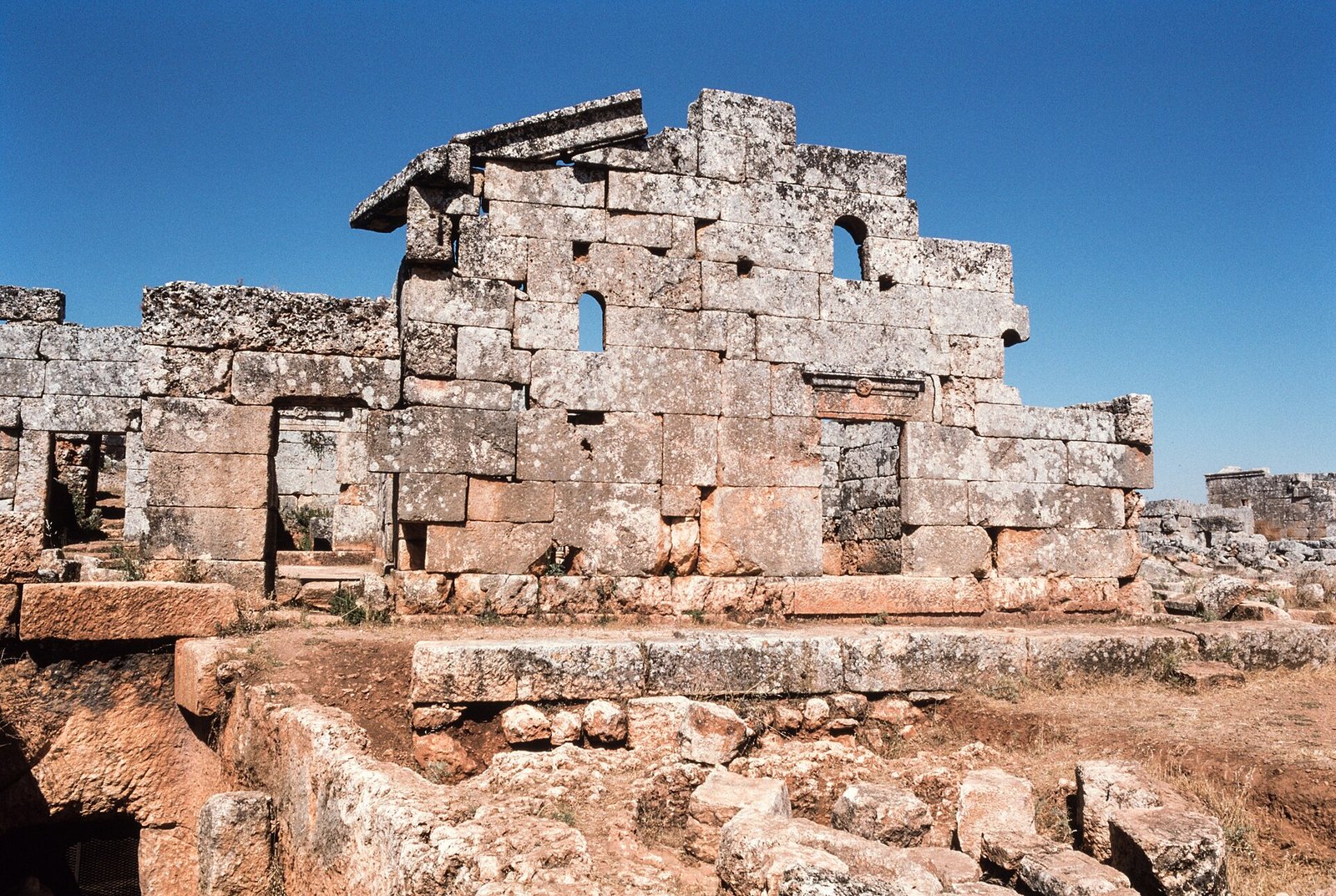
Photos: Heretiq — via Wikimedia Commons (CC BY-SA) · Vyacheslav Argenberg — via Wikimedia Commons (CC BY) · Frank Kidner — via Wikimedia Commons (CC BY-SA)
Syria Trails — An interactive geographic and heritage atlas of Syria: a map that walks down from the country to the district, landmarks with their story and era, curated trails and a passport for your visits.