Resafa
الرصافة
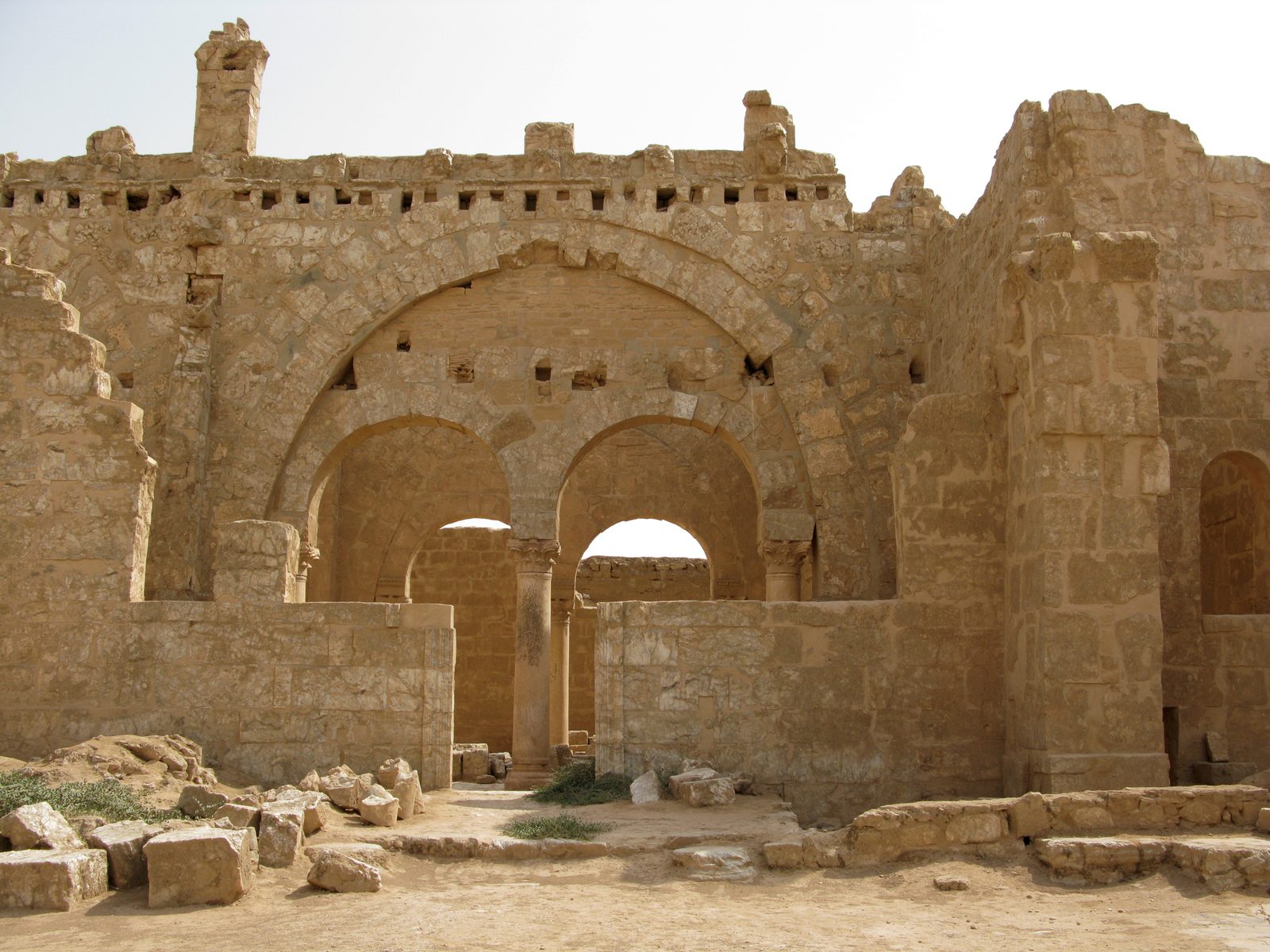
A fortified ancient city in the Raqqa desert that became a Byzantine Christian pilgrimage center known as Sergiopolis, later a secondary Umayyad residence in the 8th century.
Resafa is a fortified ancient city in the Raqqa desert, southwest of the Euphrates. It is first mentioned as an Assyrian military camp in the 9th century BCE, before becoming a fortified Roman frontier post against the Sassanid Persians.
Resafa gained major importance after the Roman soldier Sergius was martyred there in the early 4th century CE, turning it into a prominent Christian pilgrimage center known as Sergiopolis. The Byzantine emperor Justinian I fully refortified the city in the 6th century with massive walls that are among the best-preserved examples of Byzantine defensive architecture, stretching roughly 500 by 300 meters. The Basilica of St. Sergius (also known as the Church of the Holy Cross) is the most prominent surviving building from that period.
Resafa remained inhabited into the early Islamic period, and the Umayyad Caliph Hisham ibn Abd al-Malik used it as a secondary residence in the 8th century, building a palace and mosque there. The city's importance later declined and it was gradually abandoned, partly because it lacked a permanent water source — a limitation addressed by a large system of cisterns for storing rainwater.
Resafa corresponds to the Akkadian Rasappa and the biblical Rezeph (Isaiah 37:12), and Ptolemy calls it Rhesapha. Procopius describes at length the ramparts and buildings Justinian raised there: round or square towers about every hundred feet, and the ruins of a church with three apses. It flourished because its location on the caravan routes linking Aleppo, Dura-Europos and Palmyra was ideal, and it was a station on the Strata Diocletiana. With no spring or running water, it depended on large cisterns to capture rainwater.
Through the ages
Roman: It became a fortified Roman frontier post against the Sassanid Persians
Byzantine: Emperor Justinian I fully refortified the city in the 6th century CE, and it became a pilgrimage center known as Sergiopolis
Umayyad: Caliph Hisham ibn Abd al-Malik used it as a secondary residence in the 8th century CE
For the visitor
Location: 35.6278, 38.7564 · Open on the map
Photos
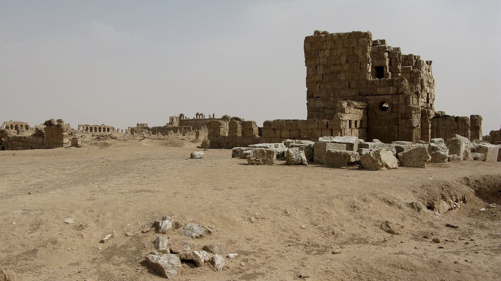
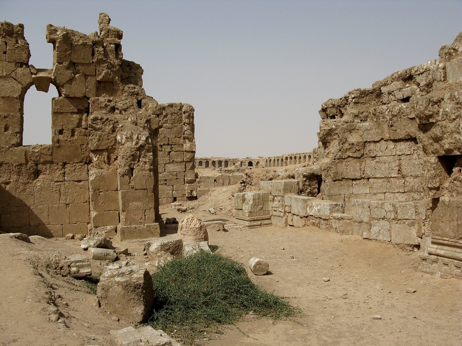
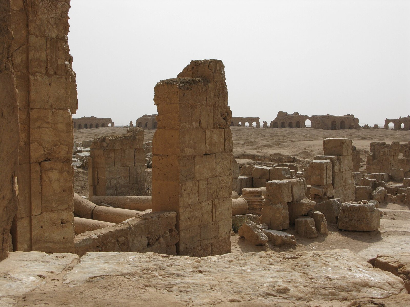
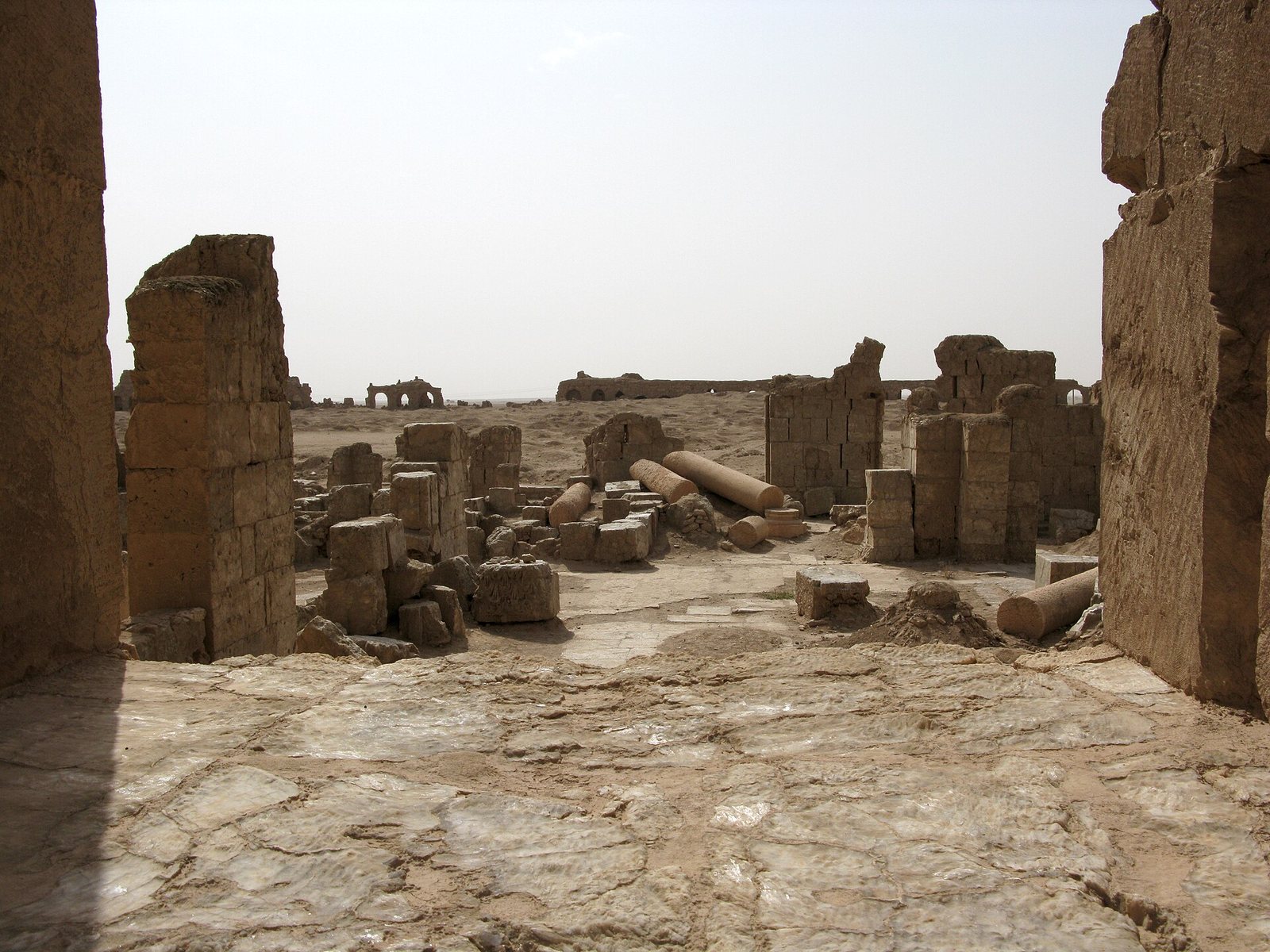
Photos: Vyacheslav Argenberg — via Wikimedia Commons (CC BY)
Syria Trails — An interactive geographic and heritage atlas of Syria: a map that walks down from the country to the district, landmarks with their story and era, curated trails and a passport for your visits.