Ras Ibn Hani
رأس ابن هاني
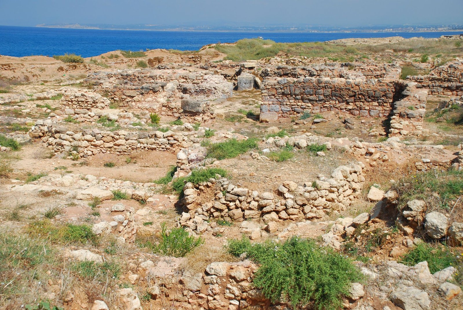
A cape north of Latakia that was the port and royal seaside retreat of the kingdom of Ugarit in the Bronze Age, and was inhabited into Byzantine times.
Ras Ibn Hani is a small cape jutting into the Mediterranean some ten kilometres north of Latakia, one of the most prominent headlands on the Syrian coast. It is an important archaeological site, occupied almost continuously from the Late Bronze Age to Byzantine times.
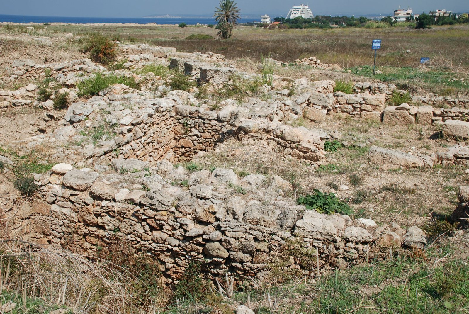
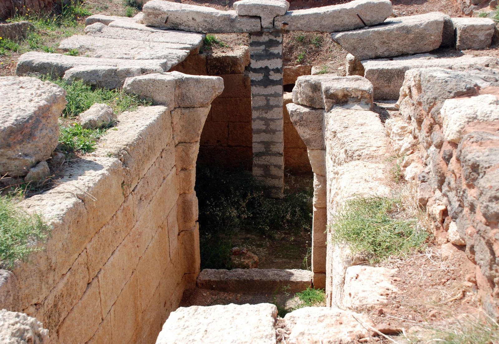
In the Late Bronze Age the site, called Ra'shu in Ugaritic, was a port and seaside resort on the northern coast of the kingdom of Ugarit, about a two-hour walk from the capital. In the middle of the 14th century BC, when a golden age began for Ugarit after treaties with Egypt secured its borders, a second residence for the king was built here as a summer palace (the South Palace), along with a residence for Queen Ahatmilku. In the 13th century BC the site is estimated to have had 6,000 to 8,000 inhabitants.
The site did not end with the fall of Ugarit around 1192 BC but carried on modestly in the Iron Age, for it held the coast's best natural harbour. Its name is thought to appear in inscriptions of the Assyrian king Tiglath-pileser III (745–727 BC) as "Cape of Tyre".
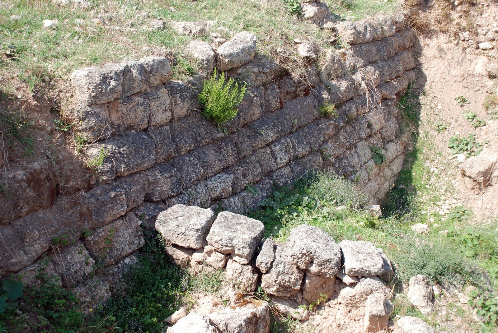
In the Hellenistic period it held a Ptolemaic base from the Third Syrian War (246–241 BC), and the Seleucid king Antiochus IX (116–96 BC) had a small fortification built in its south-eastern corner. In Roman times the emperor Trajan is said to have landed here to join his troops in Syria for the Mesopotamian campaigns of 114–117. After some centuries of sparse building, remains of buildings, pot fragments and coins show settlement in the early Byzantine period, from the 4th to the 6th century.
Ras Ibn Hani thus condenses three thousand years of Syrian coastal history, from a Canaanite trading kingdom through the Hellenistic kingdoms to Rome and Byzantium, and is closely tied to nearby Ugarit.
Note: photos may not reflect the site's current condition.
For the visitor
Location: 35.5850, 35.7460 · Open on the map
Photos
Photos: Bertramz — via Wikimedia Commons (CC BY-SA) · Abd Alsattar Ardati — via Wikimedia Commons (CC BY-SA)
Syria Trails — An interactive geographic and heritage atlas of Syria: a map that walks down from the country to the district, landmarks with their story and era, curated trails and a passport for your visits.