Mount Qasioun
جبل قاسيون
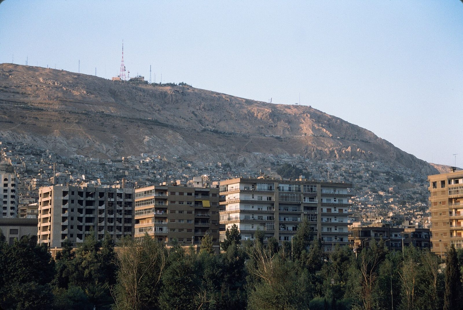
The most famous panoramic viewpoint over Damascus, from the mountain overlooking the city from the northwest, known for its evening cafes and stunning views of the capital's lights.
Mount Qasioun overlooks Damascus from the northwest and is the city's most famous panoramic viewpoint, offering a view from its slopes of the entire city stretching out to the edges of the green Ghouta oasis that surrounds it -- a sight locally nicknamed "Arous al-Sham" (Bride of the Levant) when the city's lights come on at night.
The mountain is tied to several old religious and historical traditions, most notably the "Cave of Blood," which some popular accounts associate with the killing of Abel by his brother Cain, in addition to small shrines and religious sites scattered across its slopes dating to different eras.
Its summit rises above 1,150 metres. Its name may mean "hard and dry" in Syriac, describing its bare rocky character without grass or water. Building reached it in the 19th and 20th centuries, and districts such as al-Muhajirin, Rukn al-Din, Abu Rummaneh and the Sheikh Muhyi al-Din quarter lie on its foot. The first to settle its slope were the "Maqadisa", who emigrated from Jerusalem under Frankish rule before Saladin's conquest and built tombs, schools, mosques, a hospital and a large market. A broadcasting relay station stands on its summit, and it hosts a rare endemic plant, the Damascus iris, which grows on its steep eastern slopes. In Sufi belief the Cave of Blood, or Maqam al-Arba'in, holds the prayer niches of the forty saints, and for centuries it was a place where prayers were answered, especially in drought, when the rulers of Damascus climbed there to pray for rain.
For the visitor
Location: 33.5350, 36.2789 · Open on the map
Photos
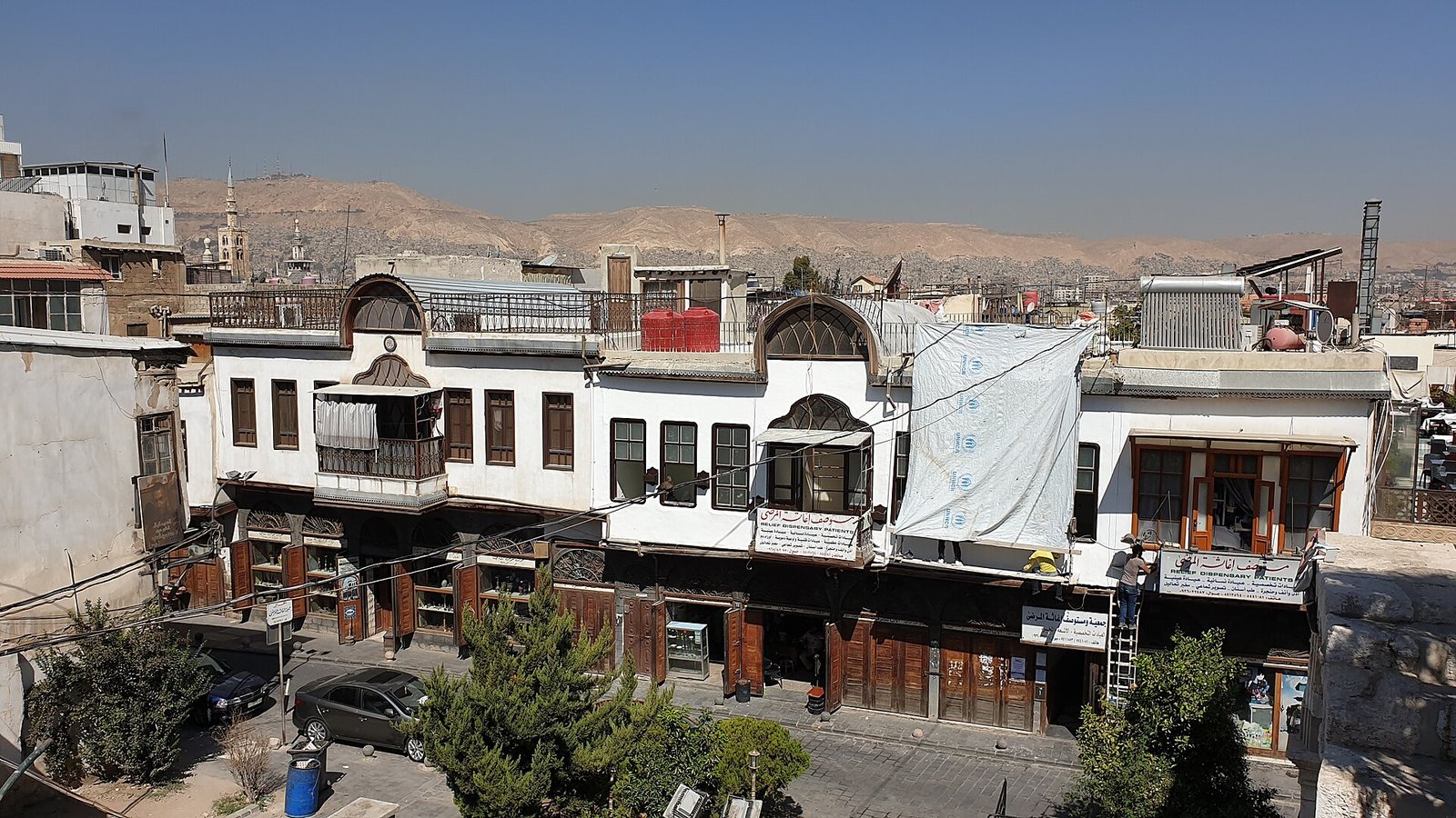
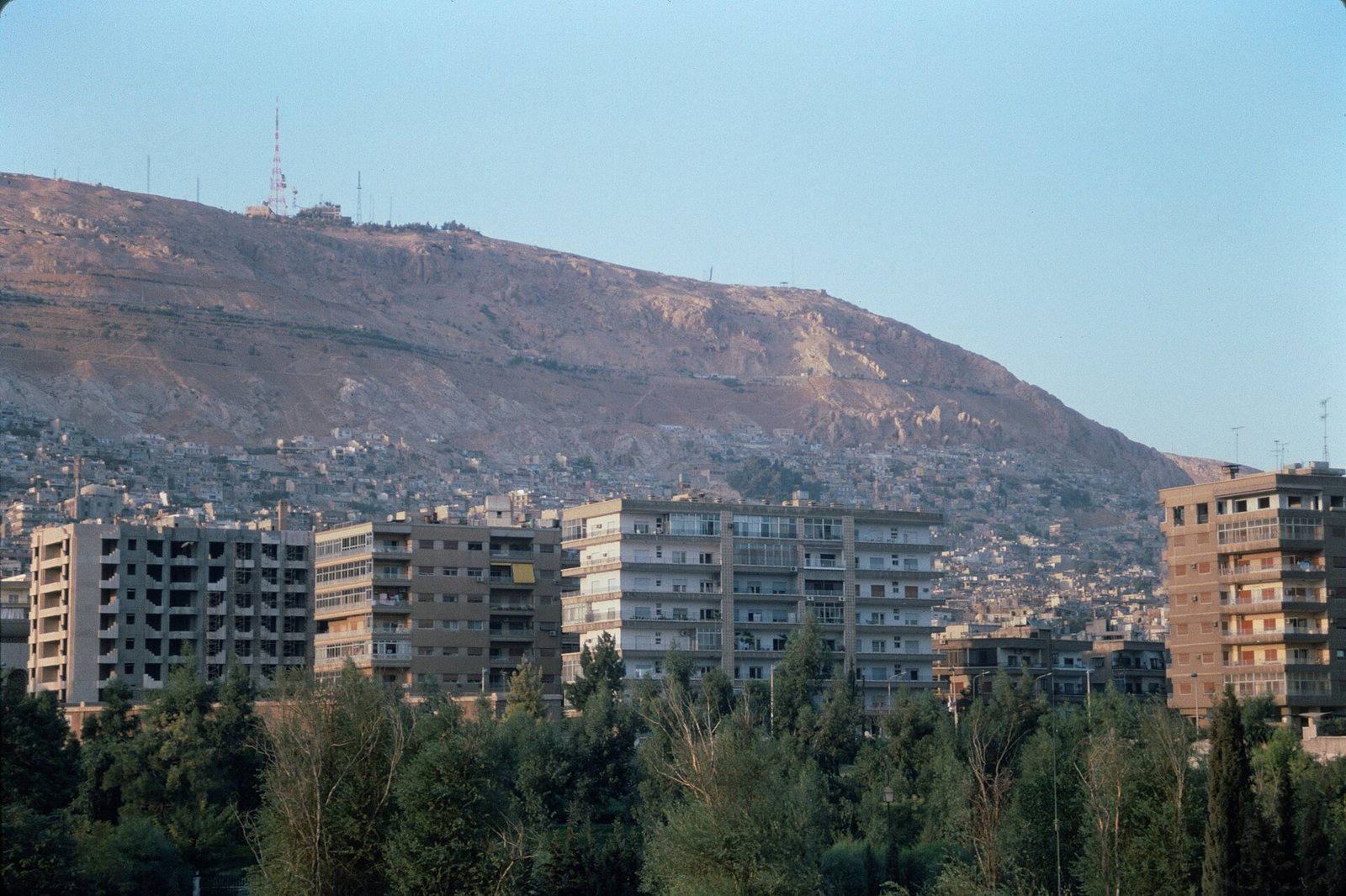
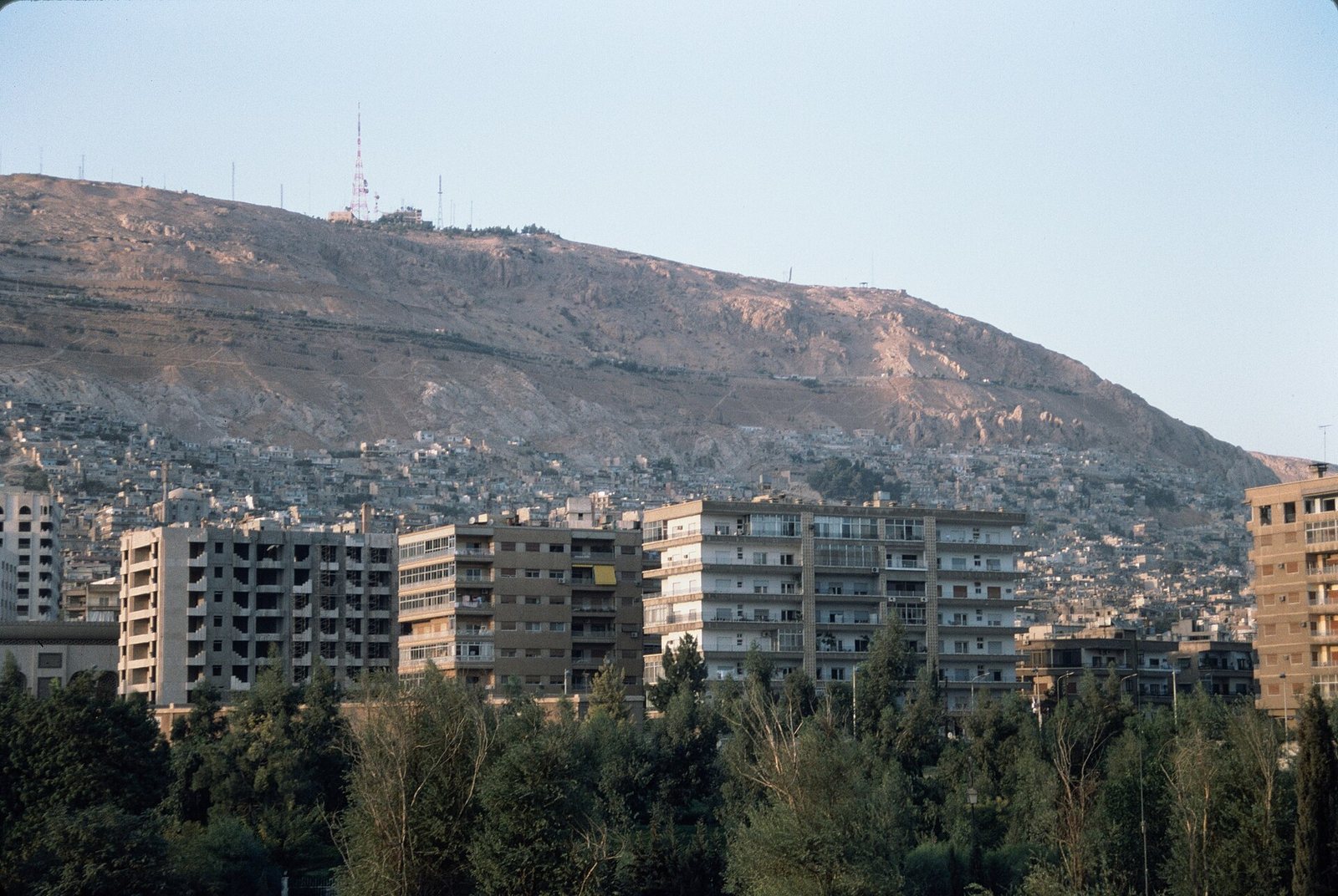
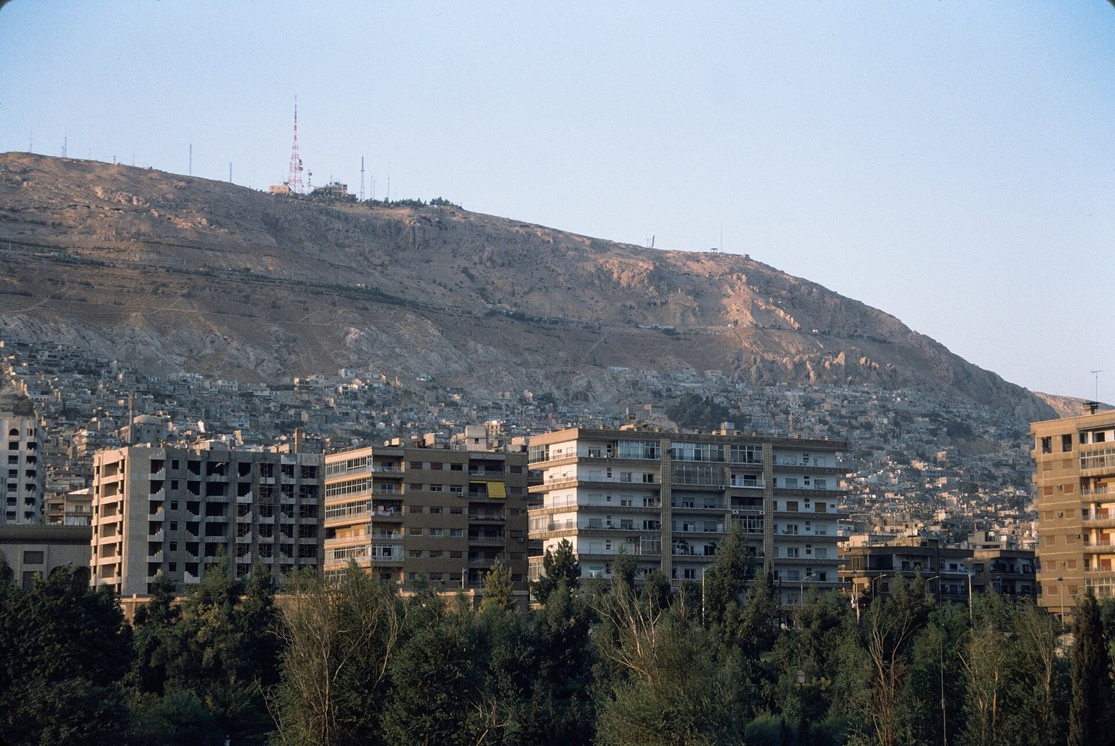
Photos: Frank Kidner — via Wikimedia Commons (CC BY-SA) · Abd Alsattar Ardati — via Wikimedia Commons (CC BY-SA)
Syria Trails — An interactive geographic and heritage atlas of Syria: a map that walks down from the country to the district, landmarks with their story and era, curated trails and a passport for your visits.