Marqab Castle
قلعة المرقب
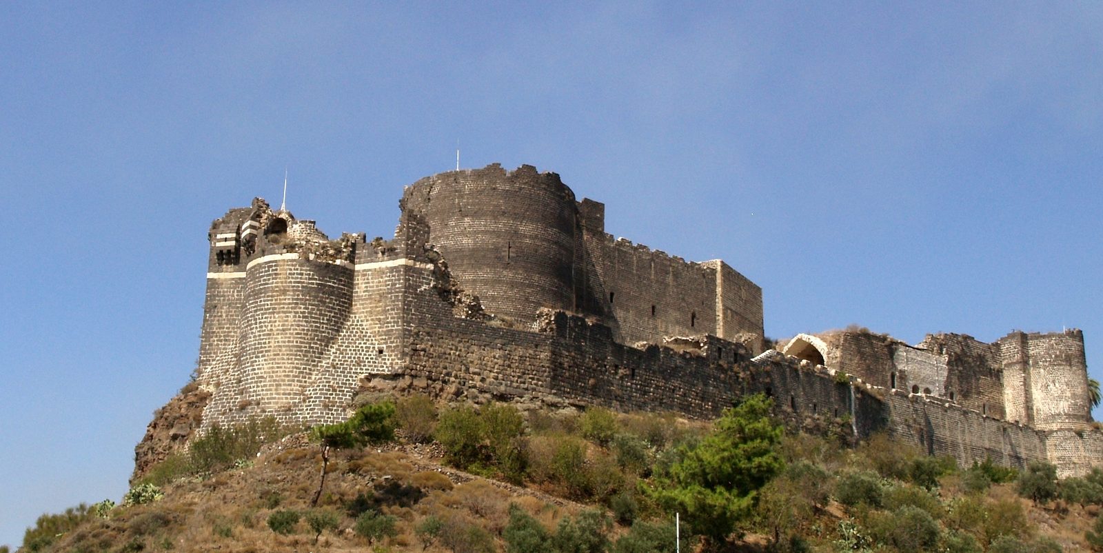
One of the largest Crusader castles, built entirely of black basalt, which withstood Saladin in 1188 and finally fell to the Mamluks in 1285.
Marqab Castle is a massive fortress built entirely of black basalt, standing on a hilltop above the Syrian coast near Baniyas. Its original core was built around 1062 by a local Muslim ruler, before the Franks substantially expanded it starting in the 1140s under the Mazoir family.
The Frankish lords sold the castle to the Knights Hospitaller in 1186, just a year before the Battle of Hattin, and it became one of their most important strongholds in the Levant, serving as the seat of a regional Hospitaller commander. Its design follows a concentric double-wall system with massive round towers and a large cylindrical keep, along with a Gothic-style hall and chapel.
Marqab withstood Saladin's 1188 campaign, unlike several other Crusader castles that fell that year, and repelled an attempt by Sultan Baybars in 1270, before finally falling to the Mamluk Sultan Qalawun in 1285 after a long siege, ending the Hospitallers' hold on the site.
The castle stands on an extinct volcanic hill about 360 metres above sea level on the road between Tripoli and Latakia, about 2 km from the coast and 6 km south of Baniyas. According to Arab sources the site was first fortified in 1062; after the Principality of Antioch's defeat at Harran in 1104 the Byzantines took it, and a few years later Tancred took it into the Principality. In the 1170s it was held by Rainald II Masoir as a vassal of the count of Tripoli and was so large it had its own household officials and rear-vassals. His son Bertrand sold it to the Hospitallers in 1186 because it was too costly for the family to maintain; they rebuilt and expanded it, and its fourteen towers were thought impregnable.
Through the ages
Crusader: The Franks substantially expanded the castle after 1140, and it became a major Hospitaller stronghold from 1186
Mamluk: The castle fell to the Mamluk Sultan Qalawun in 1285 CE after a long siege
For the visitor
Location: 35.1511, 35.9492 · Open on the map
Photos: Shayno — via Wikimedia Commons (CC BY-SA)
Syria Trails — An interactive geographic and heritage atlas of Syria: a map that walks down from the country to the district, landmarks with their story and era, curated trails and a passport for your visits.