Dura-Europos
دورا أوروبوس
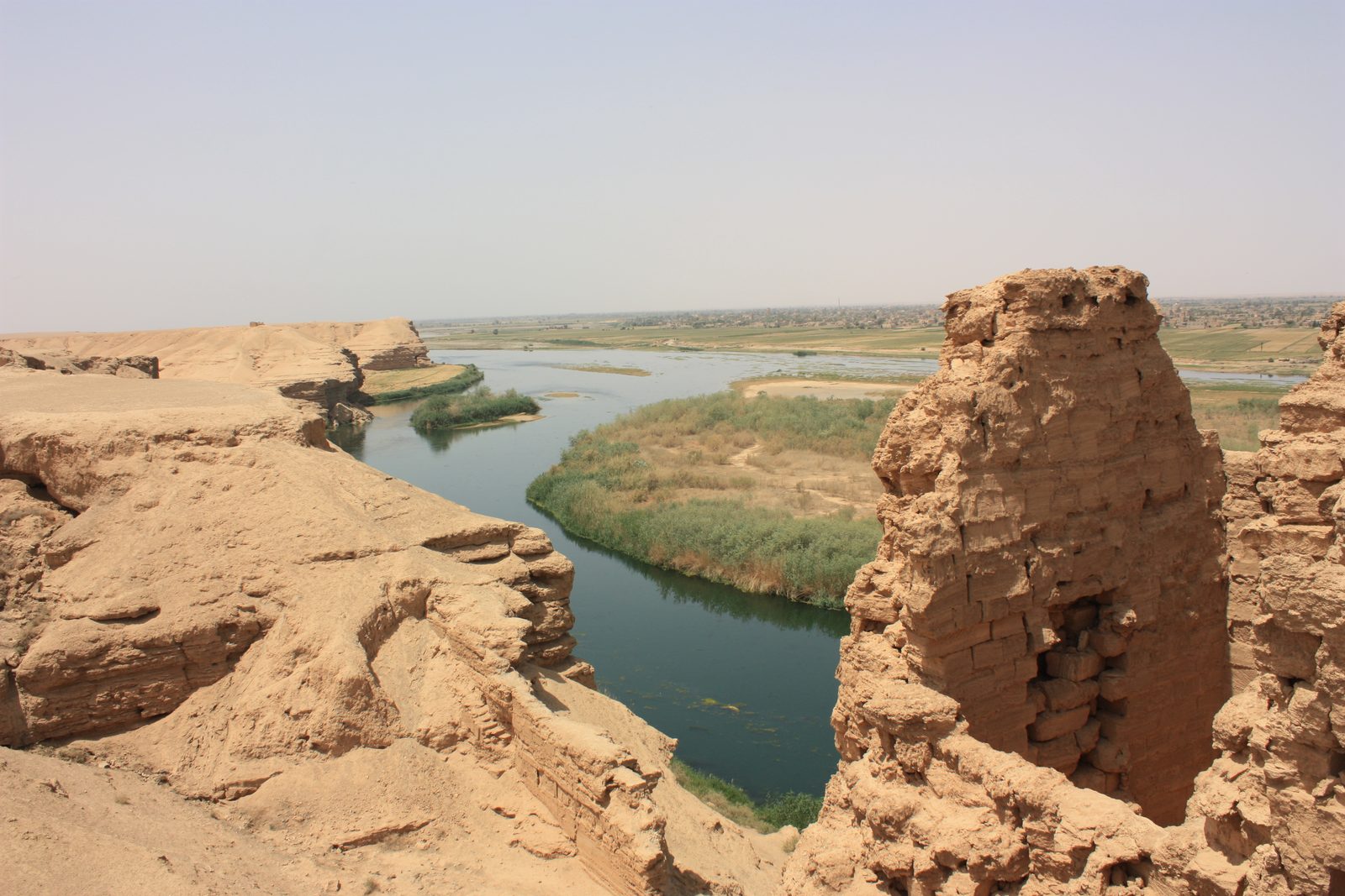
A Hellenistic-Parthian-Roman frontier city on the Euphrates, famous for its exceptionally preserved synagogue and early Christian house-church, nicknamed the "Pompeii of the Syrian desert."
Dura-Europos is an ancient city on the bank of the Euphrates in Deir ez-Zor Governorate, founded around 303 BCE by the Seleucid general Nicanor as a Hellenistic military colony. It later came under Parthian rule for several centuries before the Romans captured it in 165 CE, turning it into an important garrison town on the empire's eastern frontier.
Dura-Europos is renowned for its exceptional preservation: during a Sasanian siege in 256 CE, Roman defenders reinforced the city walls by burying a number of adjacent buildings under earthen ramparts, which preserved those buildings and their wall paintings remarkably intact. The city fell to the Sasanians shortly afterward and was abandoned for good, making it something of a time capsule — sometimes nicknamed the "Pompeii of the Syrian desert."
The city had a striking religious diversity reflecting its multicultural frontier character: a well-preserved synagogue with wall paintings depicting Old Testament scenes — a rare and significant find, given how unusual figurative art was in known synagogues of that era — one of the earliest known Christian house-churches, with the oldest known baptistery decorated with early Christian imagery, as well as temples to Palmyrene, Greek, and Roman deities, and a temple to Mithras.
Dura-Europos underwent extensive French and American excavations in the 1920s and 1930s, during which the synagogue paintings were moved to the National Museum in Damascus and parts of the church paintings to the Yale University Art Gallery. The site suffered illegal excavation and looting, documented through satellite imagery, during the recent conflict.
Through the ages
Hellenistic: Founded by the Seleucid general Nicanor as a Hellenistic military colony around 303 BCE
Roman: The synagogue and Christian house-church were built in the 3rd century CE under Roman rule
For the visitor
Location: 34.7470, 40.7308 · Open on the map
Photos
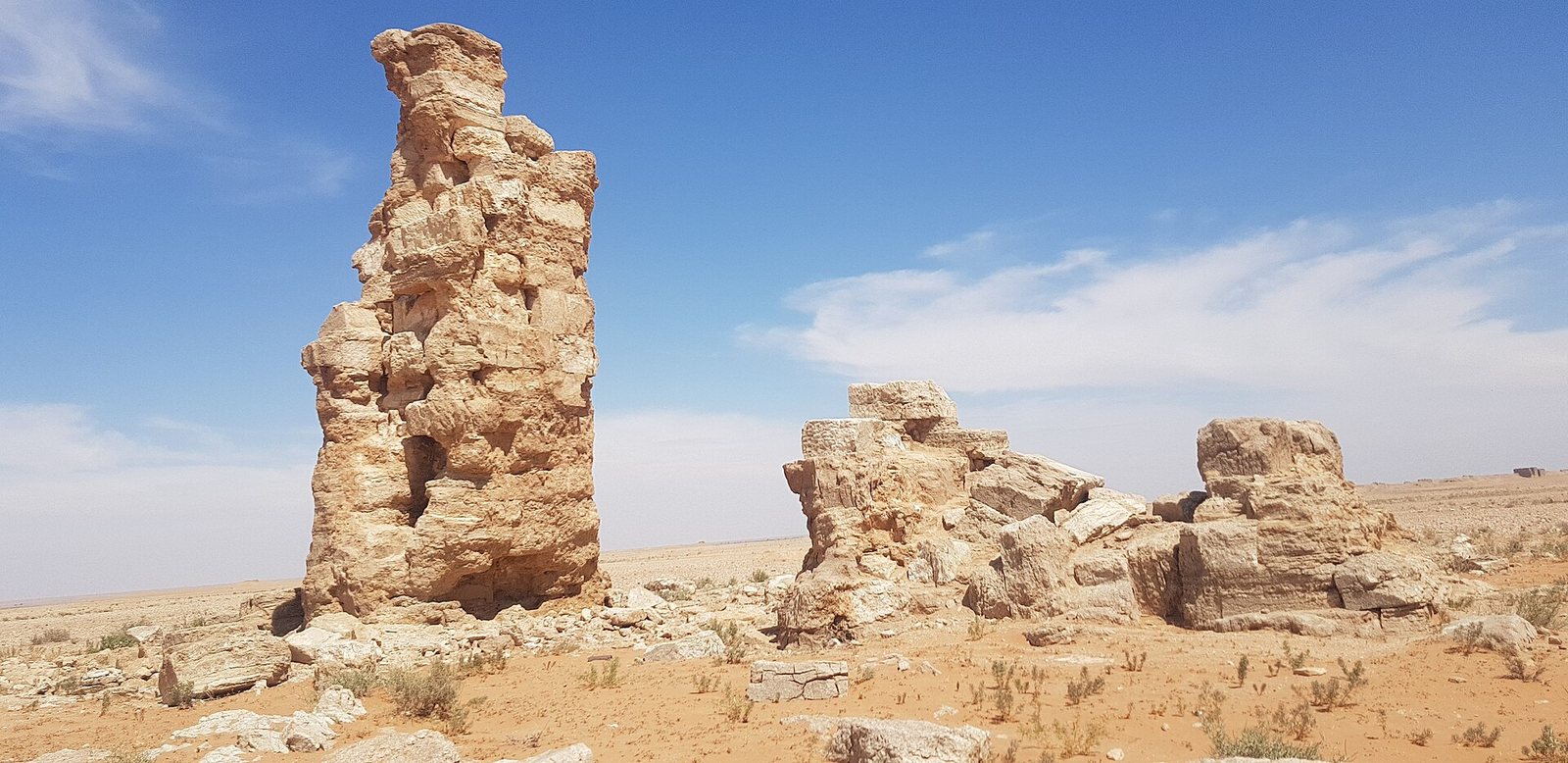
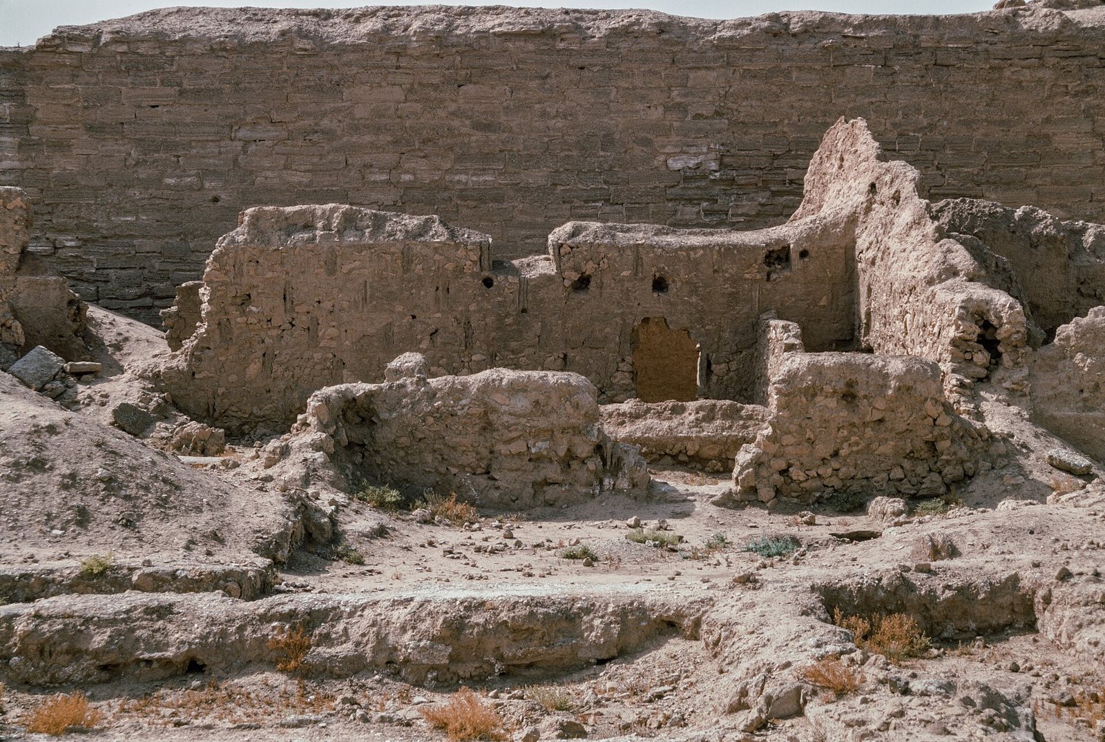
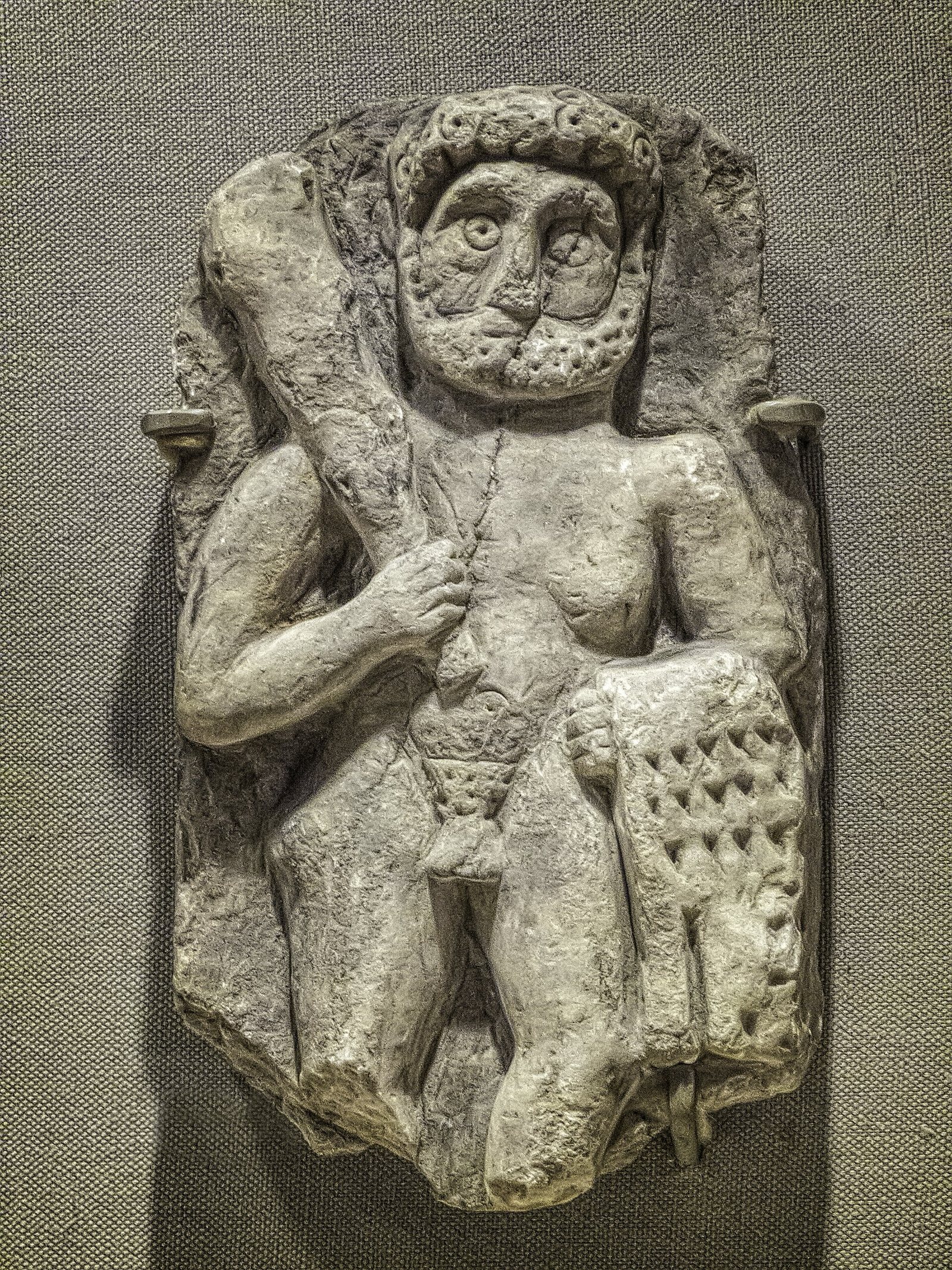
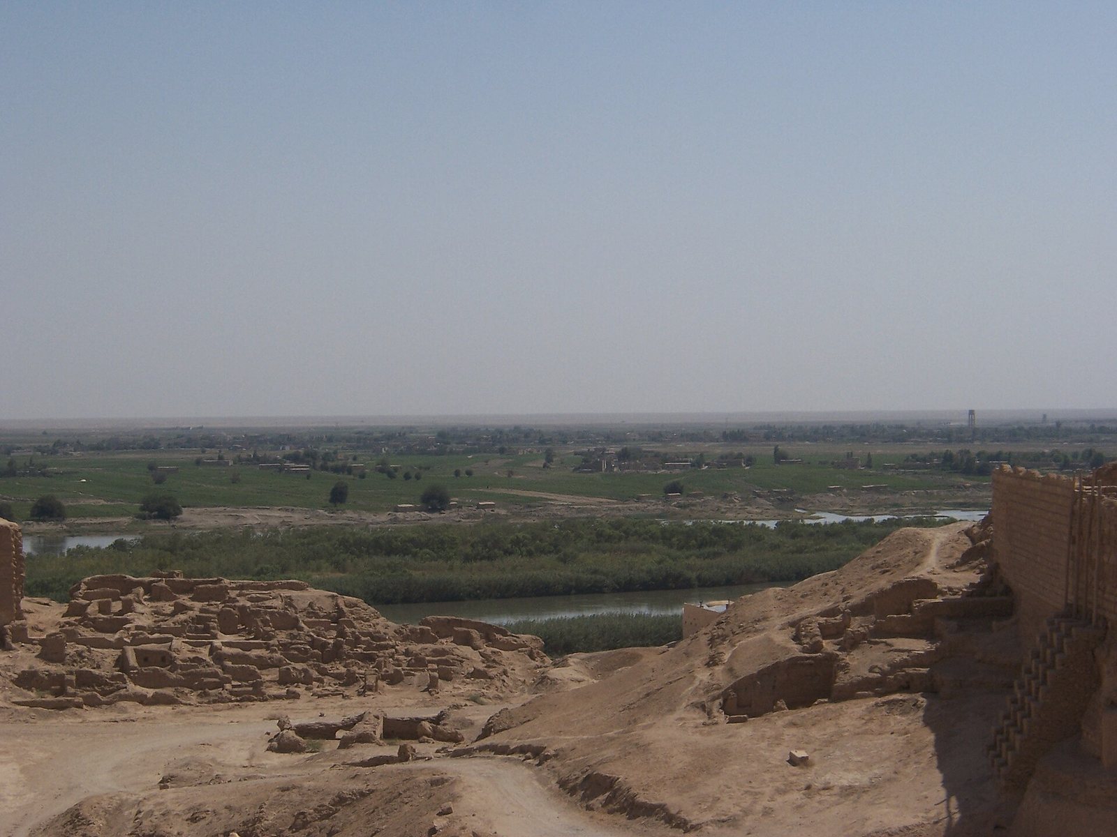
Photos: Arian Zwegers — via Wikimedia Commons (CC BY) · Adnan Almohamad — via Wikimedia Commons (CC BY) · Frank Kidner — via Wikimedia Commons (CC BY-SA) · Mary Harrsch — via Wikimedia Commons (CC BY-SA) · Institute for the Study of the Ancient World from New York, United States of America — via Wikimedia Commons (CC BY)
Syria Trails — An interactive geographic and heritage atlas of Syria: a map that walks down from the country to the district, landmarks with their story and era, curated trails and a passport for your visits.