Citadel of Damascus
قلعة دمشق
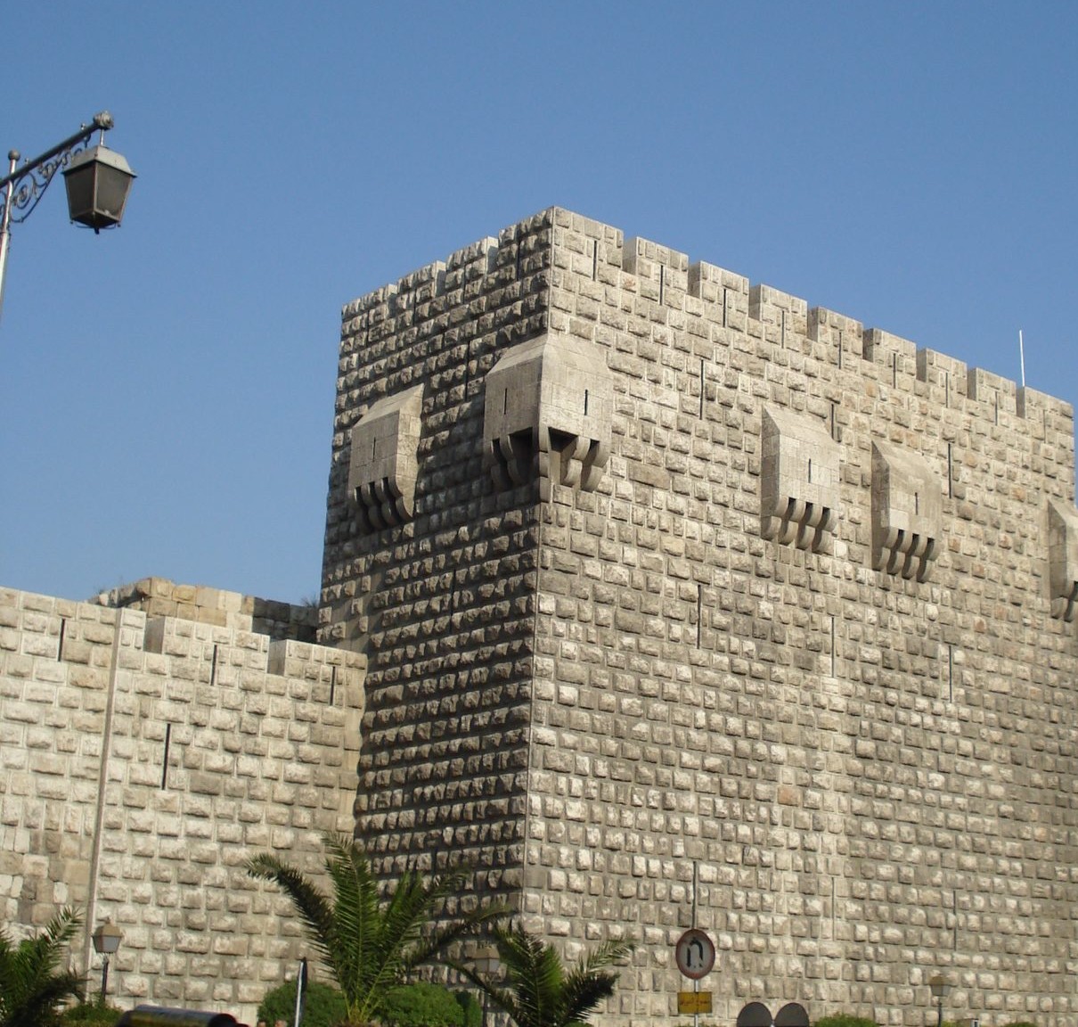
An Ayyubid royal fortress rebuilt by al-Adil I, Saladin's brother, between 1203 and 1216, part of the UNESCO-listed Old City of Damascus.
The Citadel of Damascus is a fortified royal stronghold in the northwestern corner of the Old City of Damascus, next to the famous Al-Hamidiyah Souq. Military use of the site likely dates back to earlier periods, but the structure standing today is mainly Ayyubid.
The Ayyubid sultan al-Adil I, brother of Saladin, extensively rebuilt the citadel between roughly 1203 and 1216 as his royal residence and seat of power, giving it its current form: a roughly rectangular layout surrounded by massive towers, considered one of the finest surviving examples of Ayyubid military architecture.
The site of the present citadel was first fortified in 1076 by the Turkman warlord Atsiz bin Uvak; after his assassination the Seljuq ruler Tutush I finished the project, and the Burid and Zengid emirs added structures. The citadel and city were besieged several times by Crusader and Muslim armies. Saladin captured it in 1174, made it his residence and modified its defences and residences. His brother al-Adil rebuilt it completely between 1203 and 1216 in response to the counterweight trebuchet. When the Mongols under Kitbuqa took Damascus in 1260 they dismantled most of it after a failed revolt in the citadel; it revived under the Mamluks.
The citadel continued to be used through the Mamluk and Ottoman periods for various purposes, from a royal residence to a military barracks and prison. It suffered damage during the Mongol invasion of 1260 and Timur's sack of Damascus in 1401, among other episodes across its long history.
The Old City of Damascus, including the citadel, is part of the UNESCO World Heritage Site inscribed in 1979.
Through the ages
Ayyubid: Al-Adil I extensively rebuilt the citadel between 1203 and 1216 as his residence
For the visitor
Location: 33.5117, 36.3019 · Open on the map
Photos
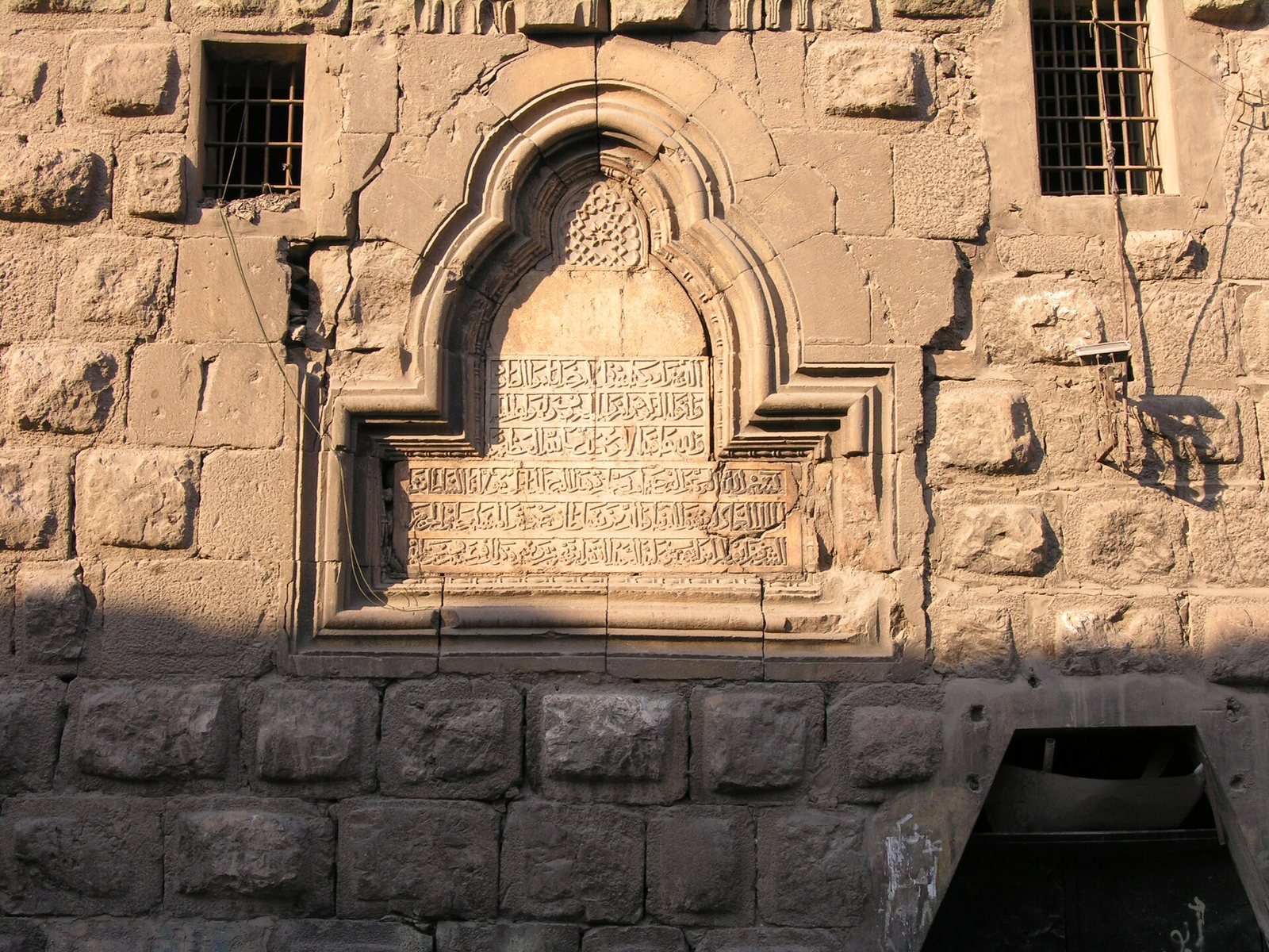
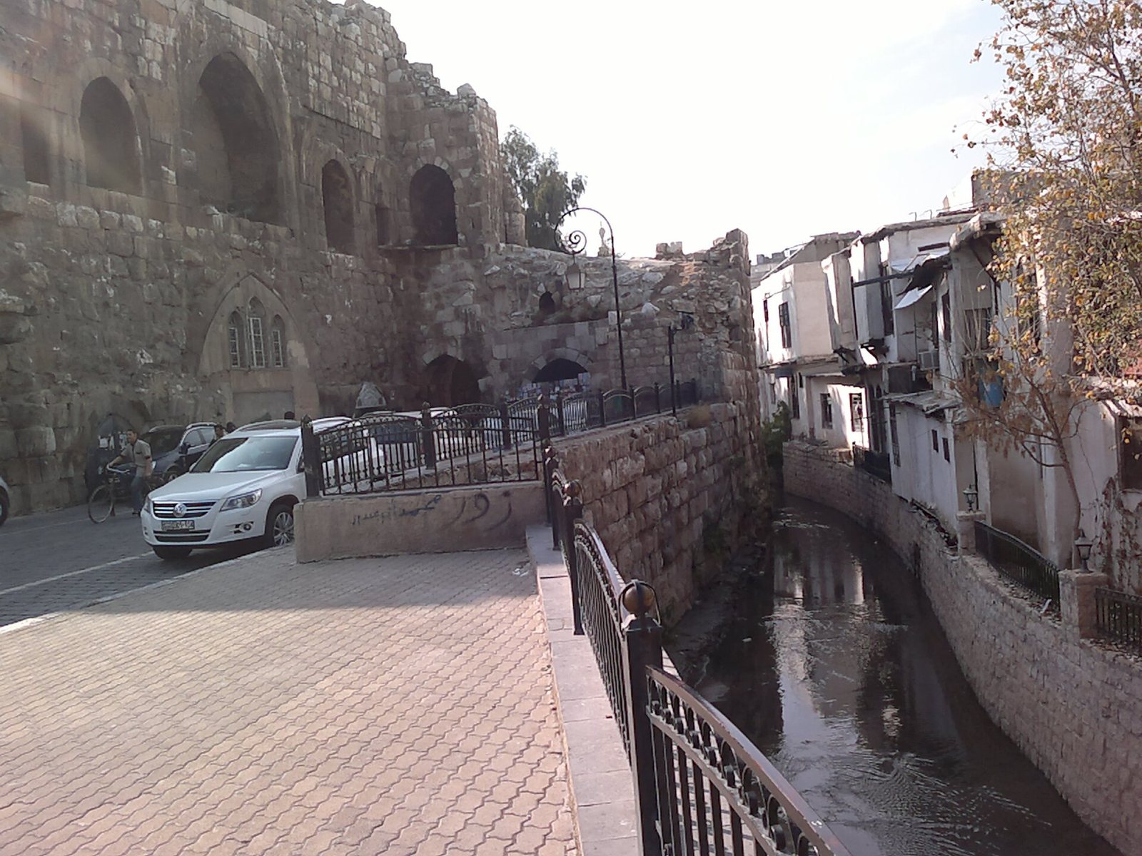
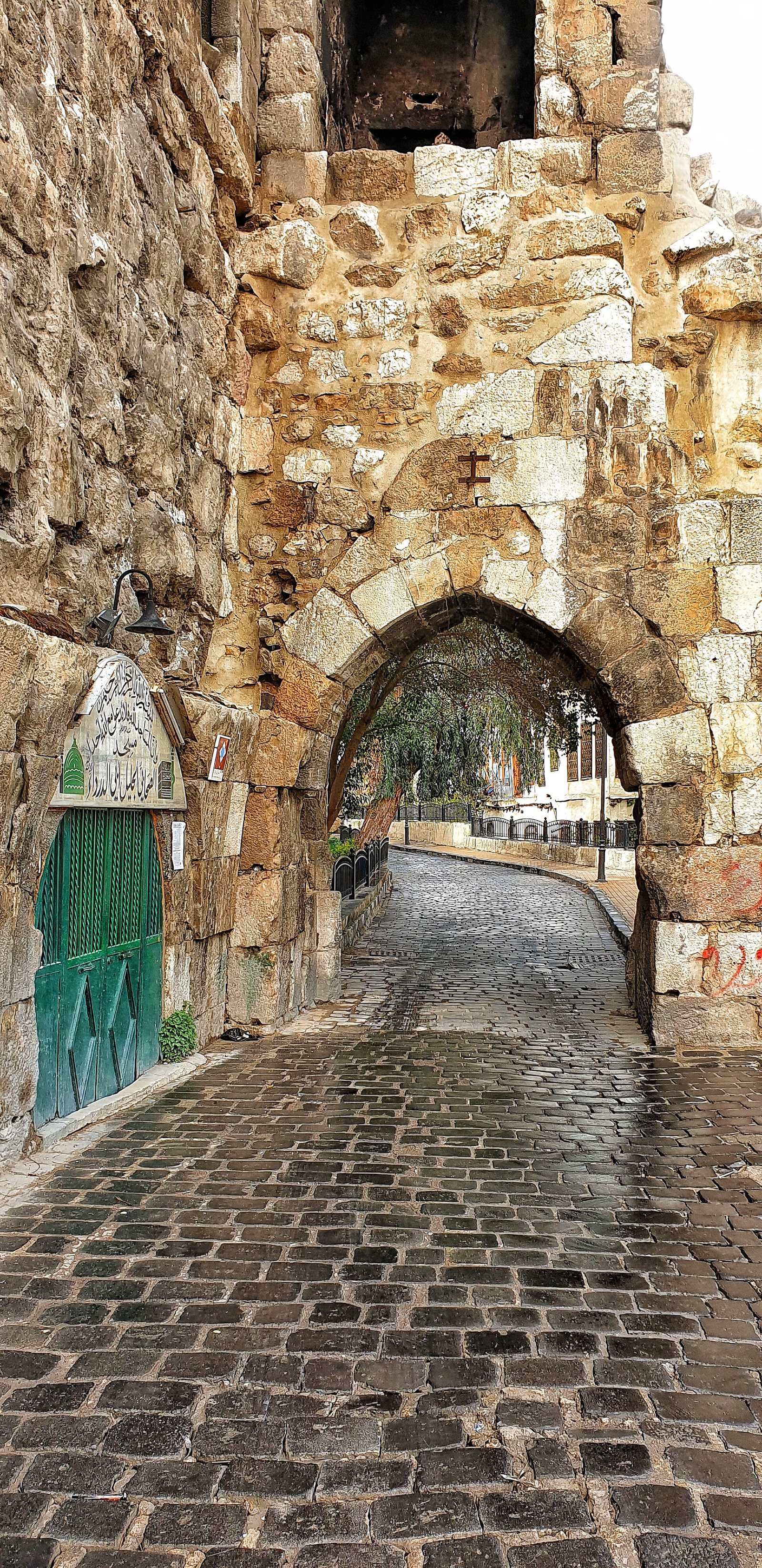
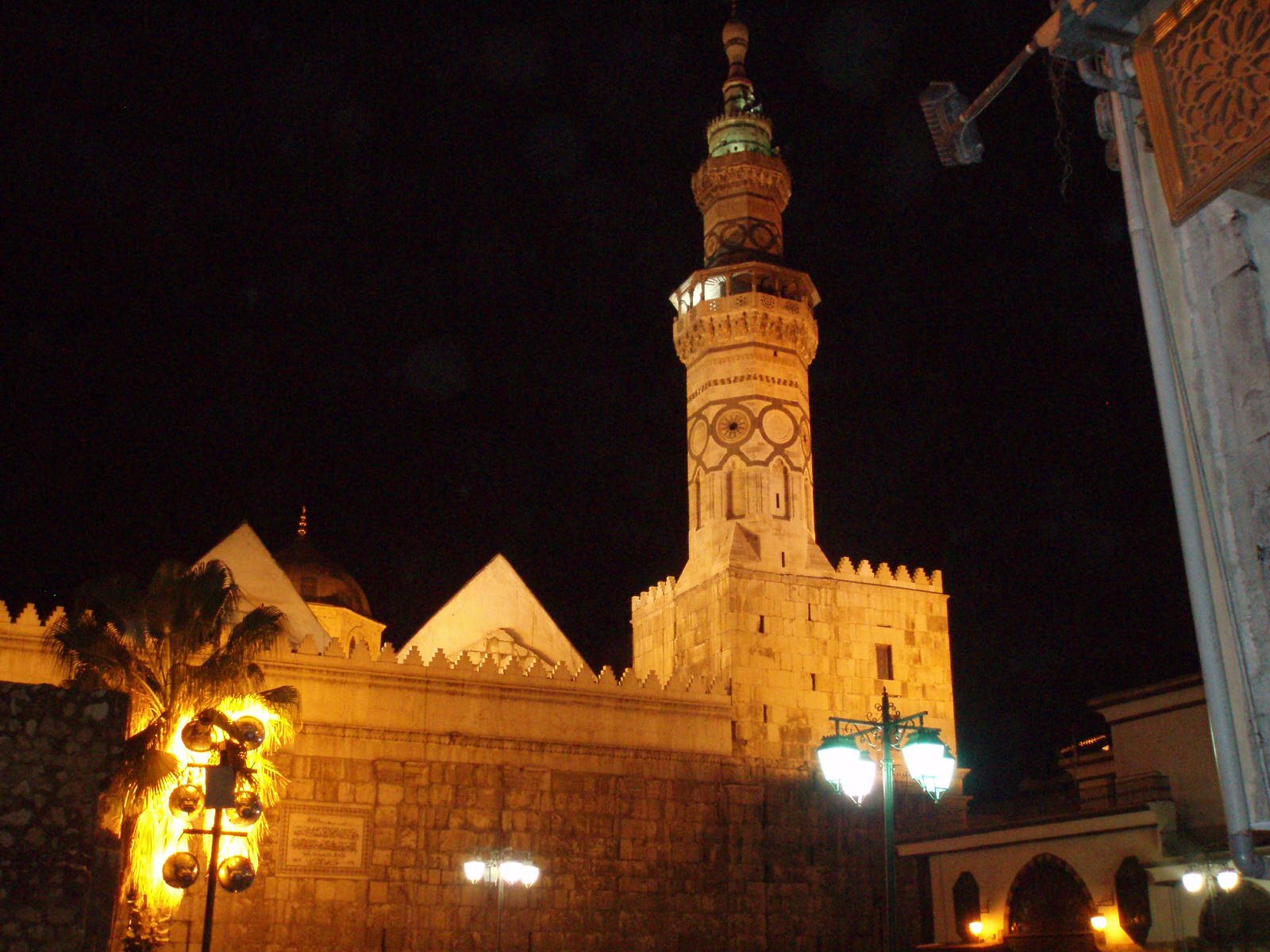
Photos: Aziz1005 — via Wikimedia Commons — cropped (Public domain) · Francesco Bandarin — via Wikimedia Commons (CC BY-SA) · Freedom's Falcon — via Wikimedia Commons (CC BY-SA) · Saleh Maarawi — via Wikimedia Commons (CC BY-SA) · David Holt London — via Wikimedia Commons (CC BY-SA)
Syria Trails — An interactive geographic and heritage atlas of Syria: a map that walks down from the country to the district, landmarks with their story and era, curated trails and a passport for your visits.