Barada River (Central Damascus)
نهر بردى (وسط دمشق)
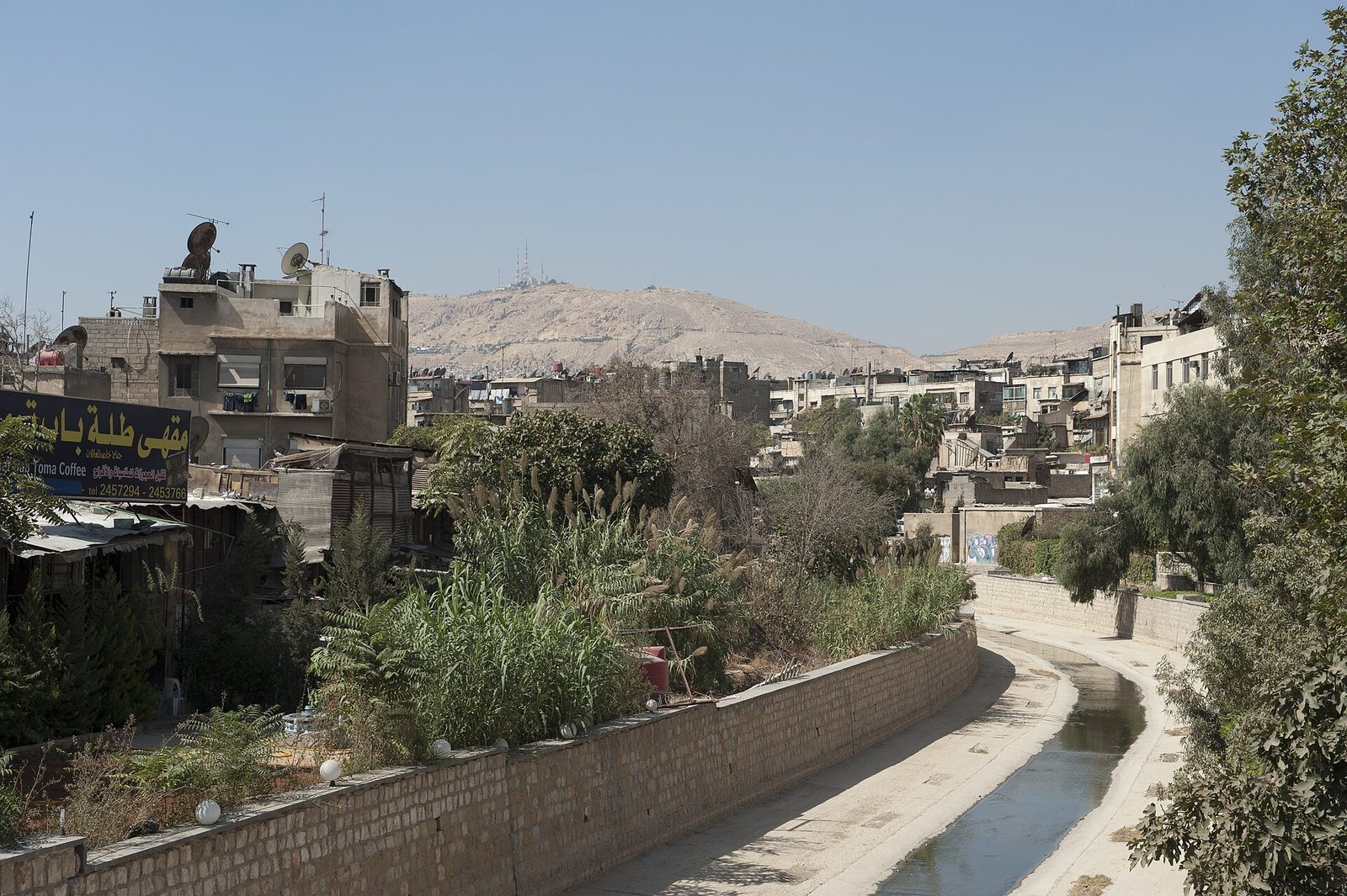
The historic river around which Damascus grew over thousands of years, flowing today through the city center near Takiyya al-Sulaimaniyya and the National Museum.
The Barada River is the water artery around which Damascus grew over thousands of years, with the city benefiting since ancient times from its fresh water flowing down from the eastern mountains of Lebanon through a network of branching rivers and canals that nourished the green Ghouta oasis surrounding Damascus, making it one of the oldest continuously inhabited cities in history.
Today the river flows through the center of modern Damascus, passing alongside several of the city's most prominent landmarks such as Takiyya al-Sulaimaniyya and the National Museum, with its banks forming public spaces that residents visit for walking and relaxation, especially in areas that have been rehabilitated and landscaped as modern riverside promenades.
The river's water flow has declined significantly over recent decades due to various climatic and developmental factors, raising environmental concerns about the future of this historic water resource, which carries deep symbolism for the identity of Damascus itself -- even the city's ancient name has, in some accounts, been historically linked to the fertility of its lands irrigated by the Barada's waters.
Despite all contemporary challenges, the Barada River remains a symbol inseparable from the historical and geographic identity of Damascus, and an essential element for understanding how this venerable city arose and has endured for thousands of years.
For the visitor
Location: 33.5148, 36.2920 · Open on the map
Photos
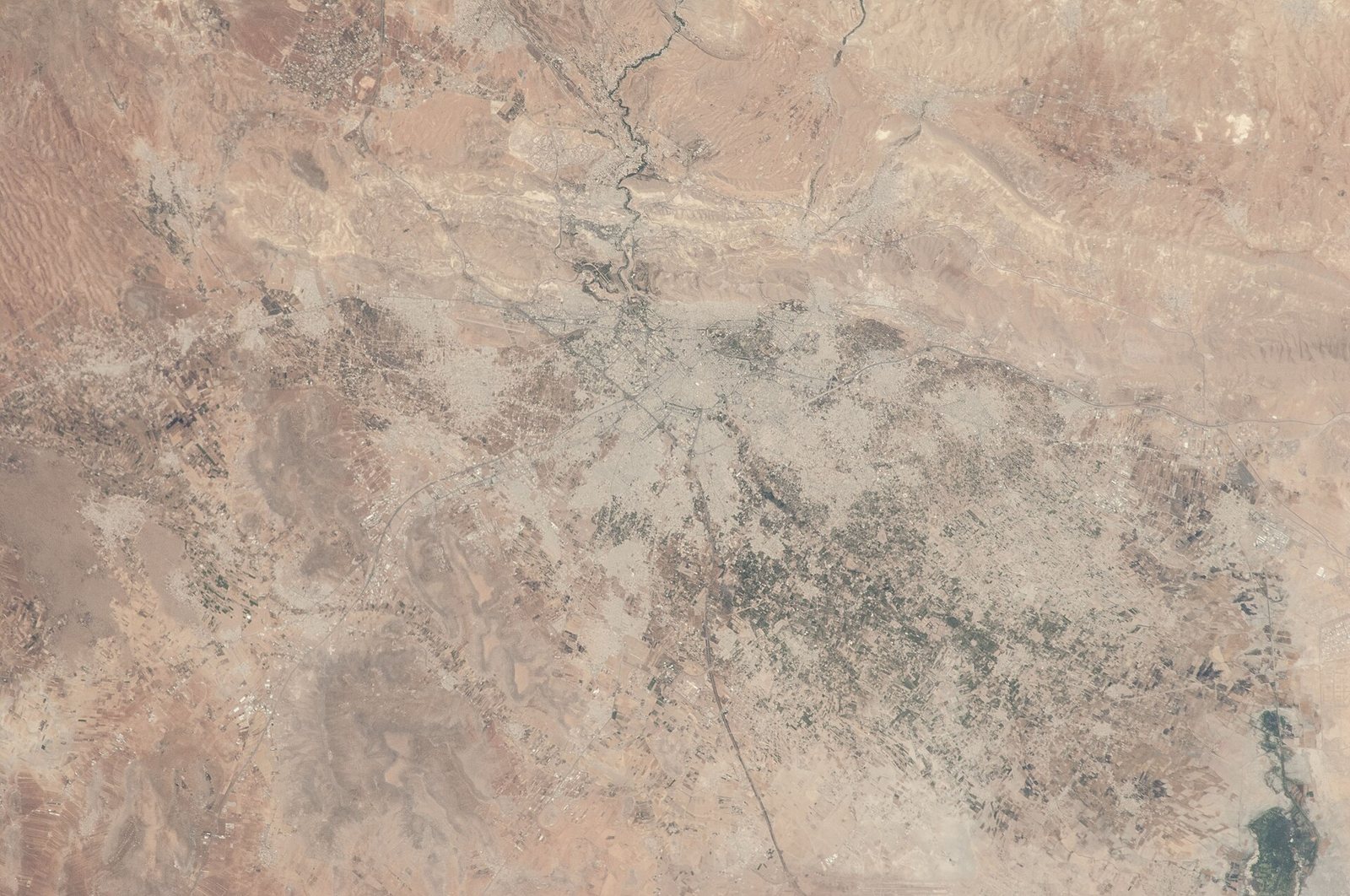
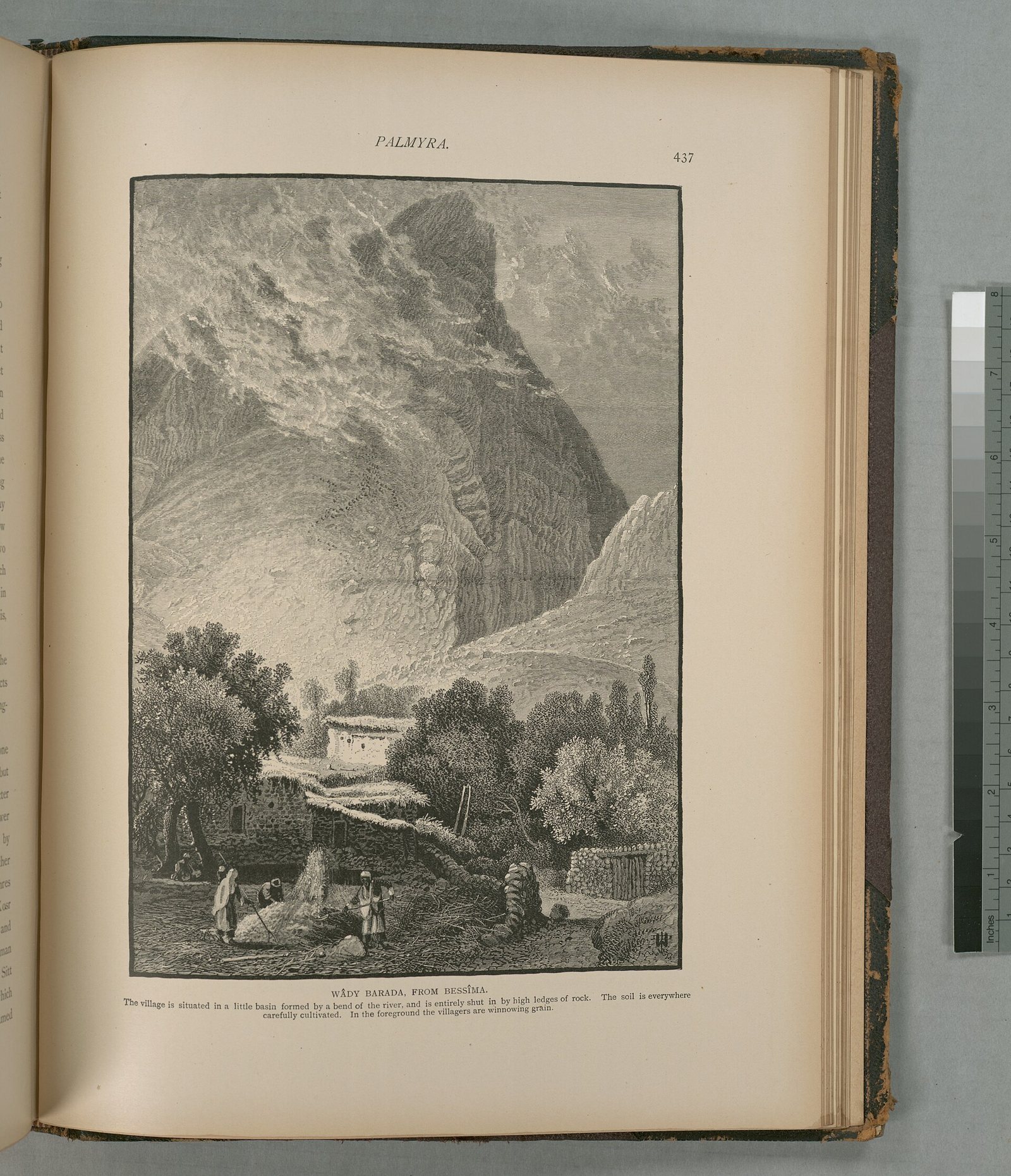
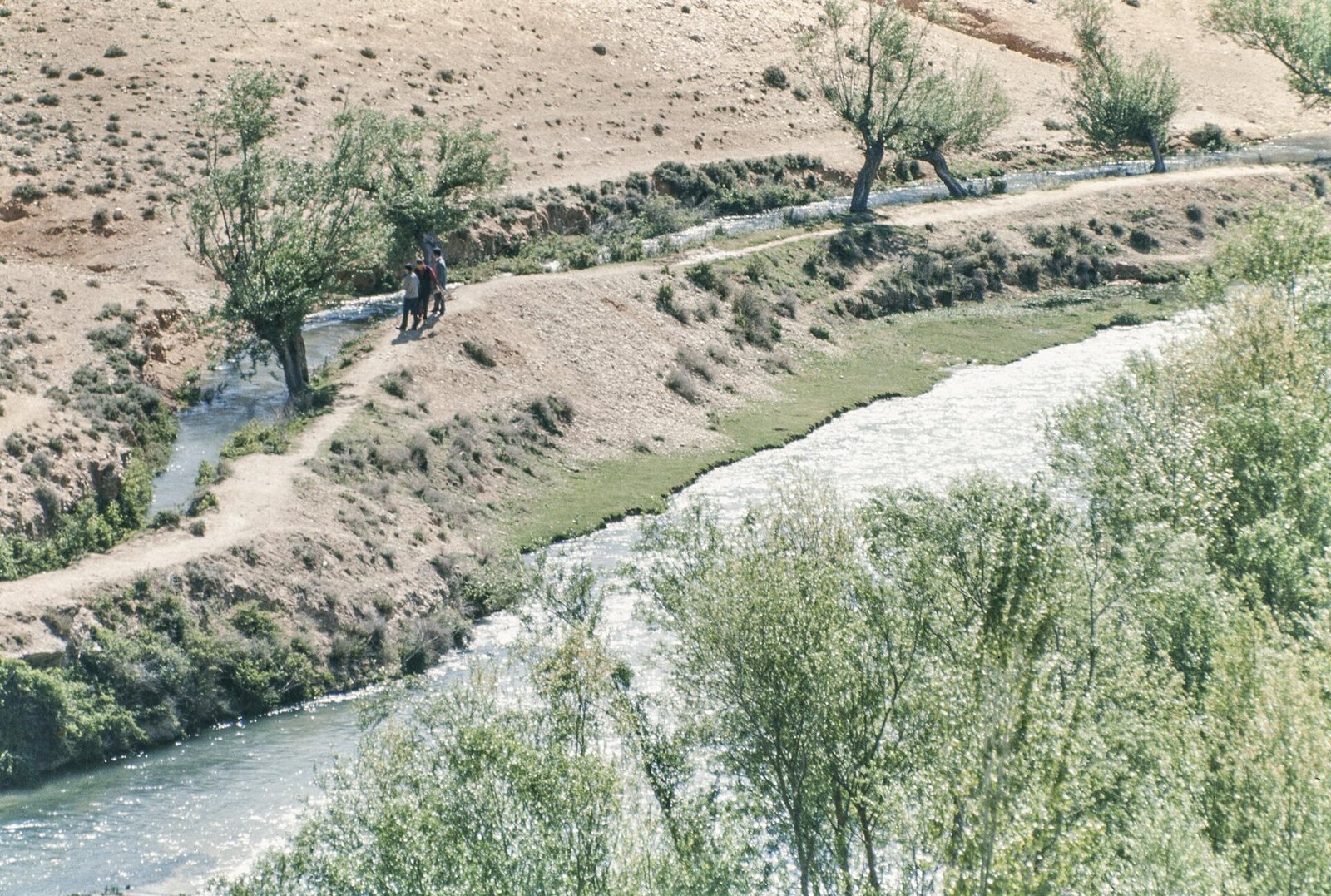
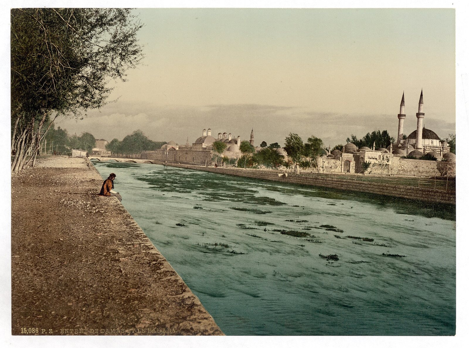
Photos: Dosseman — via Wikimedia Commons (CC BY-SA) · NASA — via Wikimedia Commons (Public domain) · Scan by NYPL — via Wikimedia Commons (Public domain) · Maison méditerranéenne des Sciences de l'homme / National Center for Scientific Research / Aix-Marseille University — via Wikimedia Commons (CC BY) · Library of Congress Catalog: http://lccn.loc.gov/2002724983 — via Wikimedia Commons (Public domain)
Syria Trails — An interactive geographic and heritage atlas of Syria: a map that walks down from the country to the district, landmarks with their story and era, curated trails and a passport for your visits.