Apamea
أفاميا
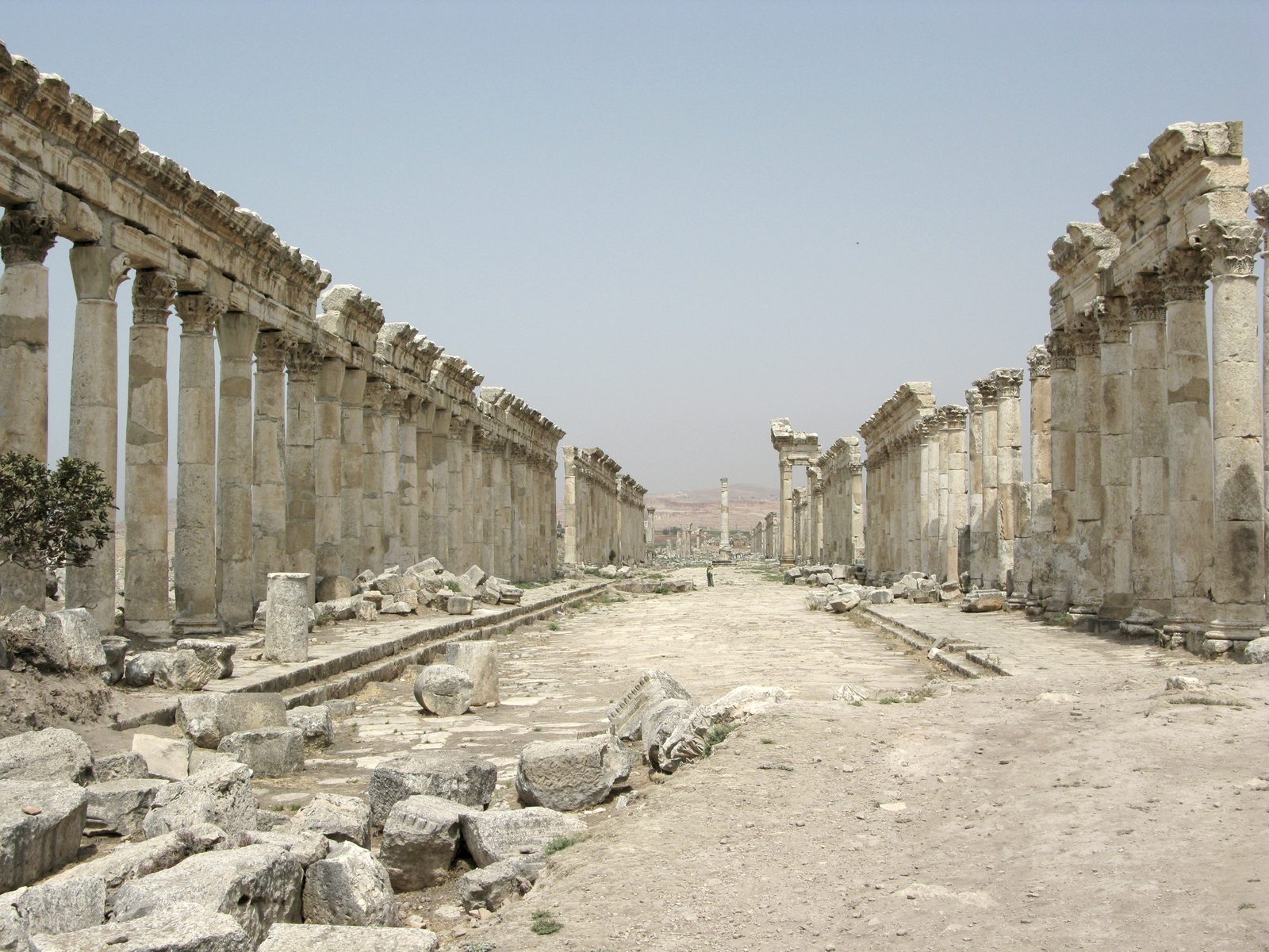
A vast Seleucid-Roman city famous for its long colonnaded street with rare spiral-fluted columns, and an important philosophical center in late antiquity.
Apamea is a vast ancient city in Hama Governorate, founded by Seleucus I Nicator around 300 BCE under the name Pella, before he renamed it in honor of his Persian wife, Apama. It went on to become one of the most important cities of Seleucid and later Roman Syria.
Apamea is famous for its Great Colonnade, one of the longest surviving colonnaded streets in the Roman world at roughly 1,850 meters long and up to 20 meters wide, largely rebuilt in the 2nd century CE after an earthquake destroyed the city in 115 CE. A section of its columns feature a rare spiral fluting design with few parallels at other Roman sites.
Apamea was also an important philosophical center in late antiquity, home to a Neoplatonist school. The city's importance declined gradually after a series of earthquakes, notably a major one in 526 CE, and after the Islamic conquest. A medieval castle, Qalaat al-Madiq, was later built on a nearby hill overlooking the site — its name still given to the administrative subdistrict where the site sits today.
Apamea stands on the right bank of the Orontes and began as a Macedonian military settlement called Pella after the Wars of the Diadochi. In 64 BC Pompey razed its fortress; it later withstood a three-year siege during the revolt of Quintus Caecilius Bassus and became capital of the Roman province of Syria Secunda, a status it kept into the Crusader period. Its Great Colonnade, the cardo maximus, joined baths, an agora and a nymphaeum, and beside it stands the Roman theatre, among the largest surviving in the Roman world with an estimated capacity above 20,000. The city also had a late antique synagogue with an inscribed mosaic floor, later replaced by a church on the same site, and the Great Hunting Mosaic of the early 5th century, found in a building believed to have been the governor's residence. Khosrow I destroyed it in the 6th century; it revived under the Hamdanids and was destroyed by an earthquake in 1152.
Through the ages
Hellenistic: Founded by Seleucus I Nicator around 300 BCE under the name Pella
Roman: The Great Colonnade was largely rebuilt in the 2nd century CE after the 115 CE earthquake
For the visitor
Location: 35.4180, 36.3980 · Open on the map
Photos
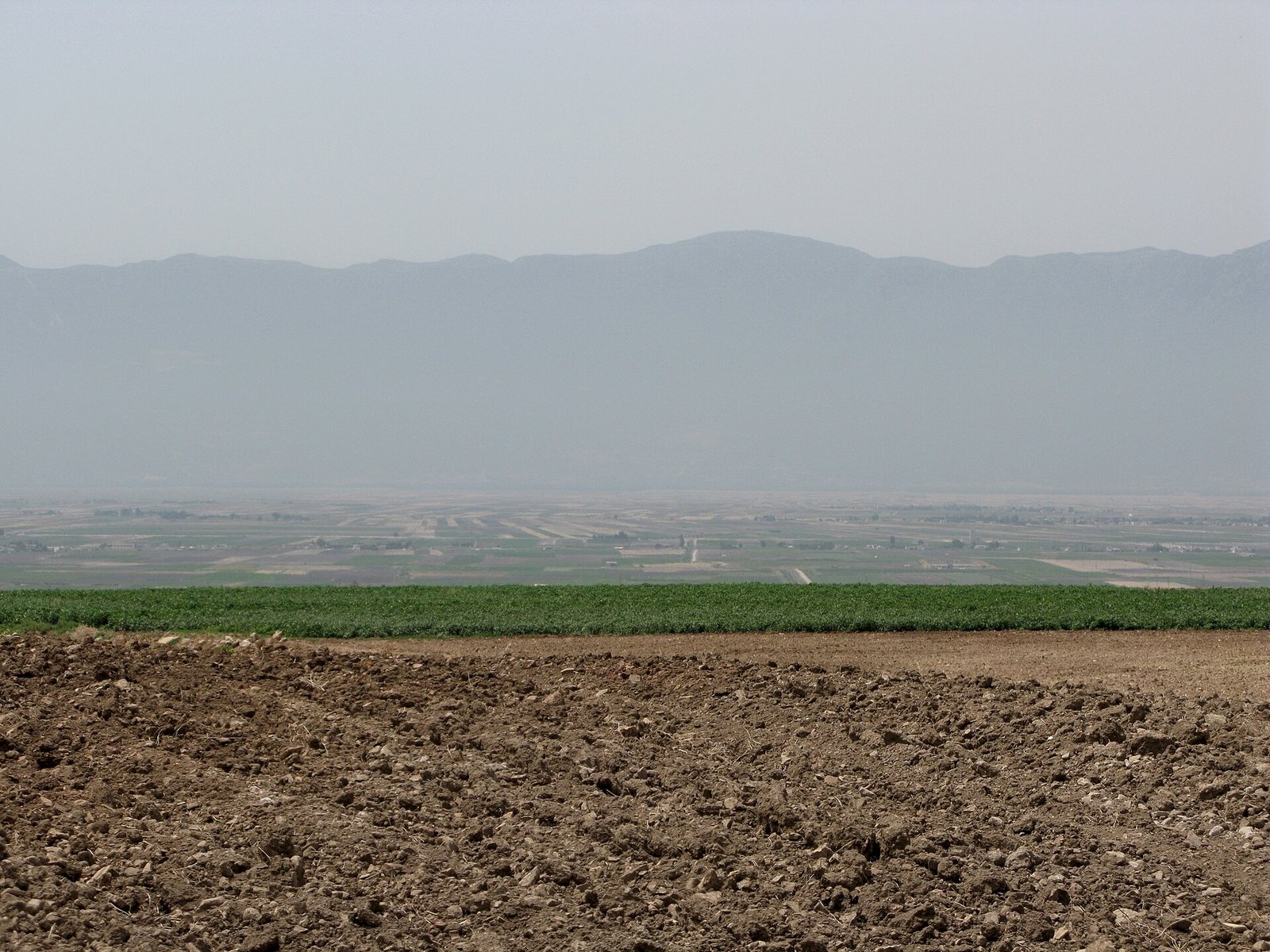
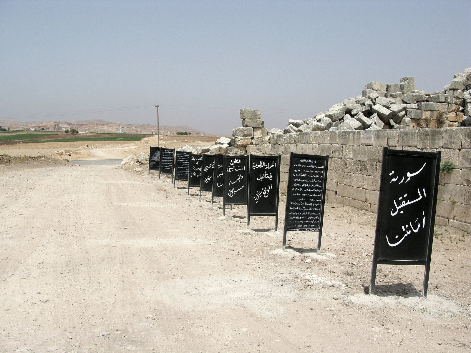
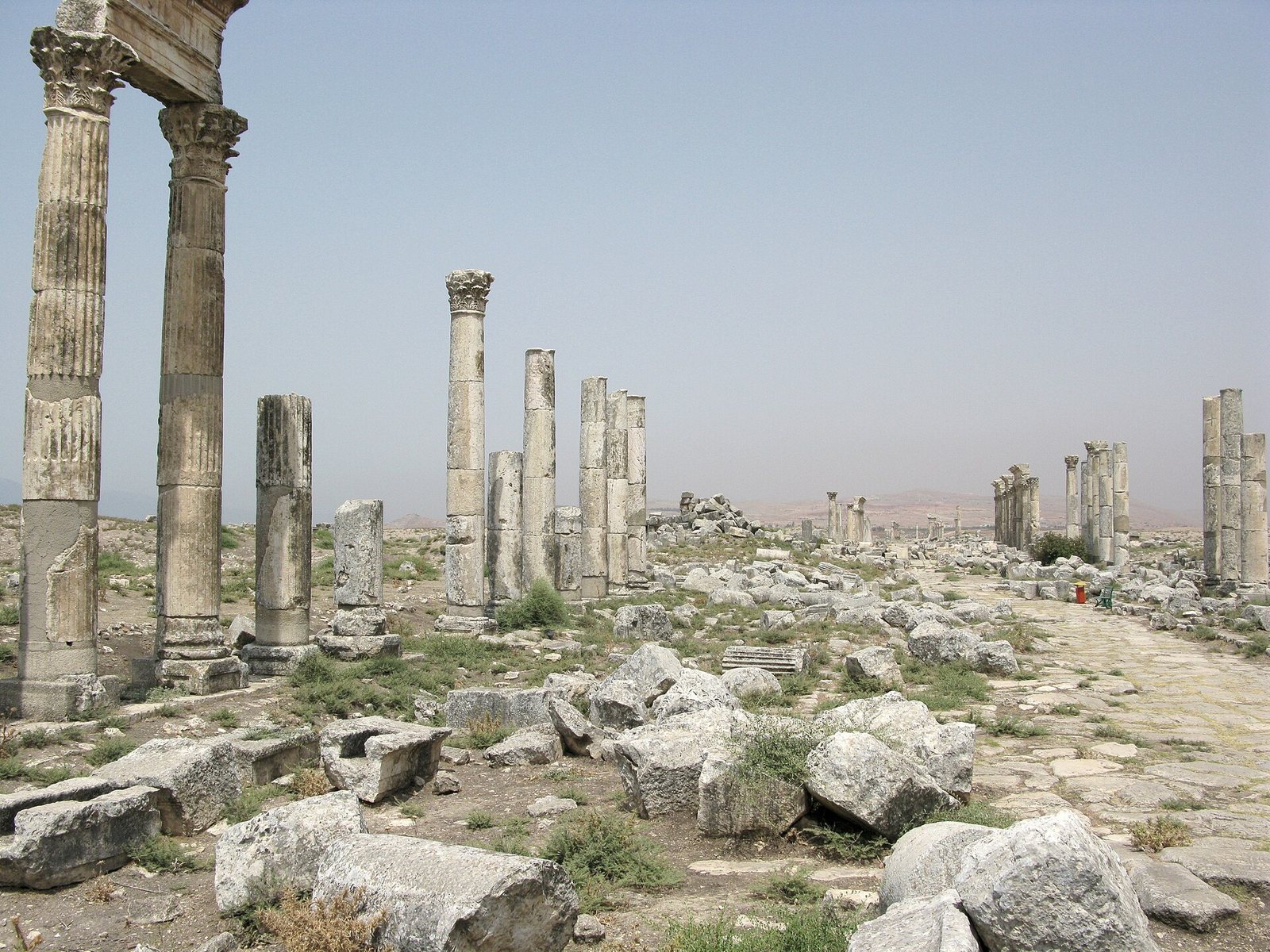
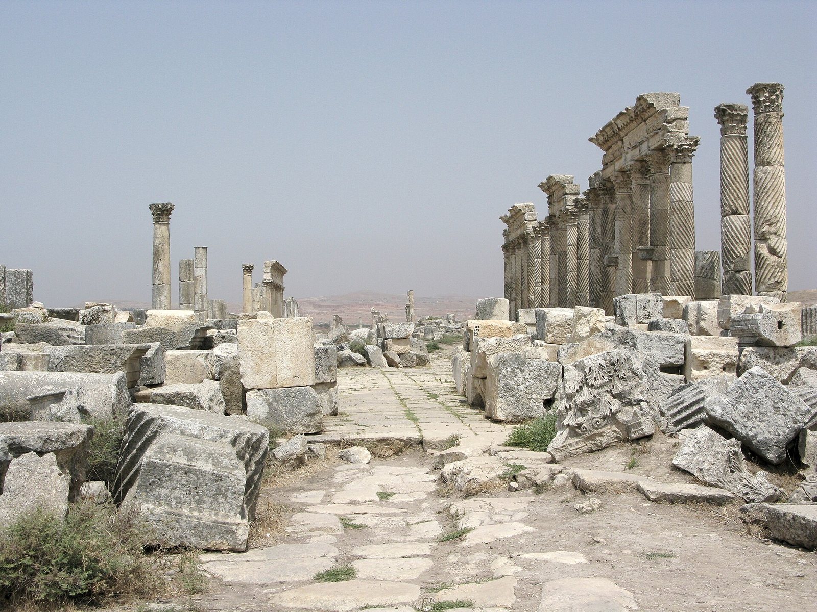
Photos: Vyacheslav Argenberg — via Wikimedia Commons (CC BY)
Syria Trails — An interactive geographic and heritage atlas of Syria: a map that walks down from the country to the district, landmarks with their story and era, curated trails and a passport for your visits.