Amrit
عمريت
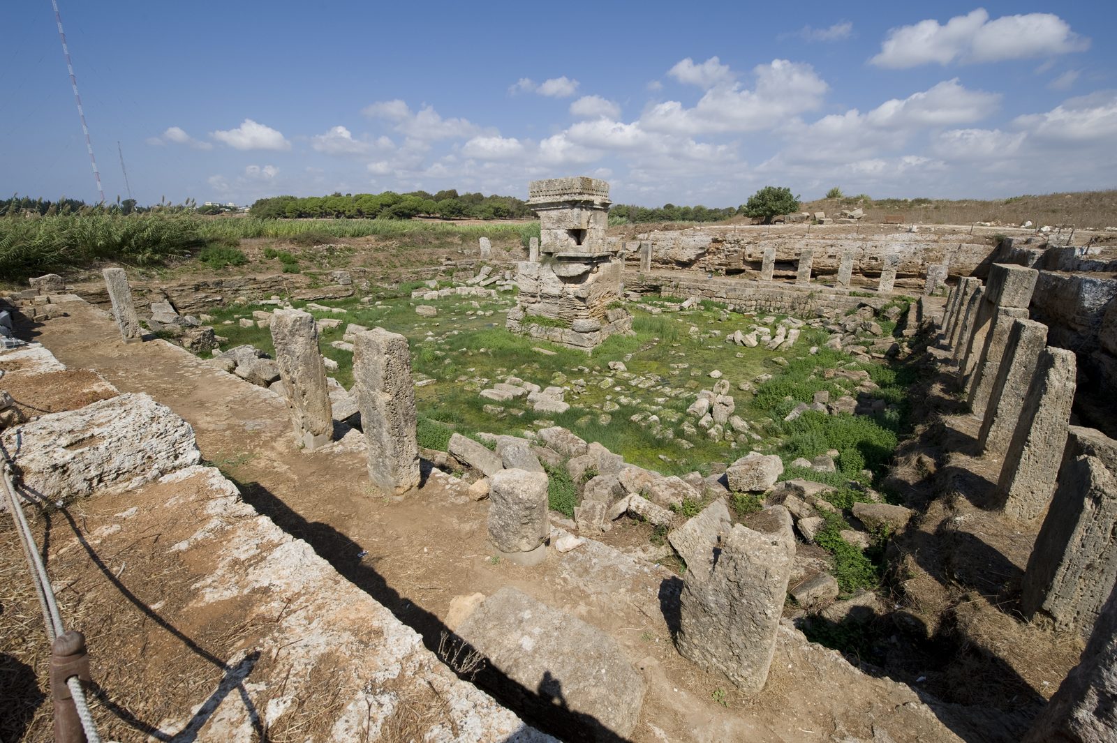
A Phoenician site on the Syrian coast known as ancient Marathus, among the best-preserved Phoenician sites, with a unique temple to Eshmun and distinctive tower tombs.
Amrit is a Phoenician archaeological site on the Syrian coast south of Tartus, known by its ancient name Marathus. It is one of the best-preserved Phoenician sites in Syria, since — unlike most Phoenician coastal cities — it was never built over by later settlements.
Marathus flourished especially during the Achaemenid Persian period, between the 6th and 4th centuries BCE, as a dependency or rival of the nearby island city of Arwad just offshore. The site includes the Phoenician "Ma'abed" (temple), dedicated to Eshmun, the Phoenician god of healing, dating to around the 6th century BCE. It has a distinctive design: a small shrine set on a platform in the middle of a large pool carved directly into the bedrock, reflecting Egyptian and Mesopotamian architectural influences unusual for the region.
Amrit is also known for its distinctive Phoenician funerary monuments, locally called "meghazil" (spindles) — cone-topped stone tower tombs unique in the Levant — as well as the remains of a stadium, thought to be one of the earliest known in the ancient Near East.
The ancient city lay on the Mediterranean coast about 6 km south of Tartus and was crossed by two rivers, the Nahr Amrit near the main temple and the Nahr al-Kuble near the secondary temple, perhaps linked to the importance of water in its religion. It was probably founded by the Arvadites, one of the "daughters of Arwad", and served as its mainland base. It surrendered with Arwad to Alexander the Great in 333 BC. Under the Seleucids Marathus was probably larger and richer than Arwad, gained independence in 219 BC and was sacked by Arwad in 148 BC; Strabo described it as ruins. Excavation began in 1860 under Ernest Renan.
Marathus declined after it was reportedly destroyed by its rival Arwad around the 2nd century BCE and was never rebuilt as a city afterward, which helped keep its ancient remains relatively exposed and undisturbed.
Through the ages
Phoenician: The site served as a Phoenician port, a dependency or rival of the island of Arwad
Persian: The site reached its peak during the Achaemenid Persian period, between the 6th and 4th centuries BCE
For the visitor
Location: 34.8388, 35.9071 · Open on the map
Photos
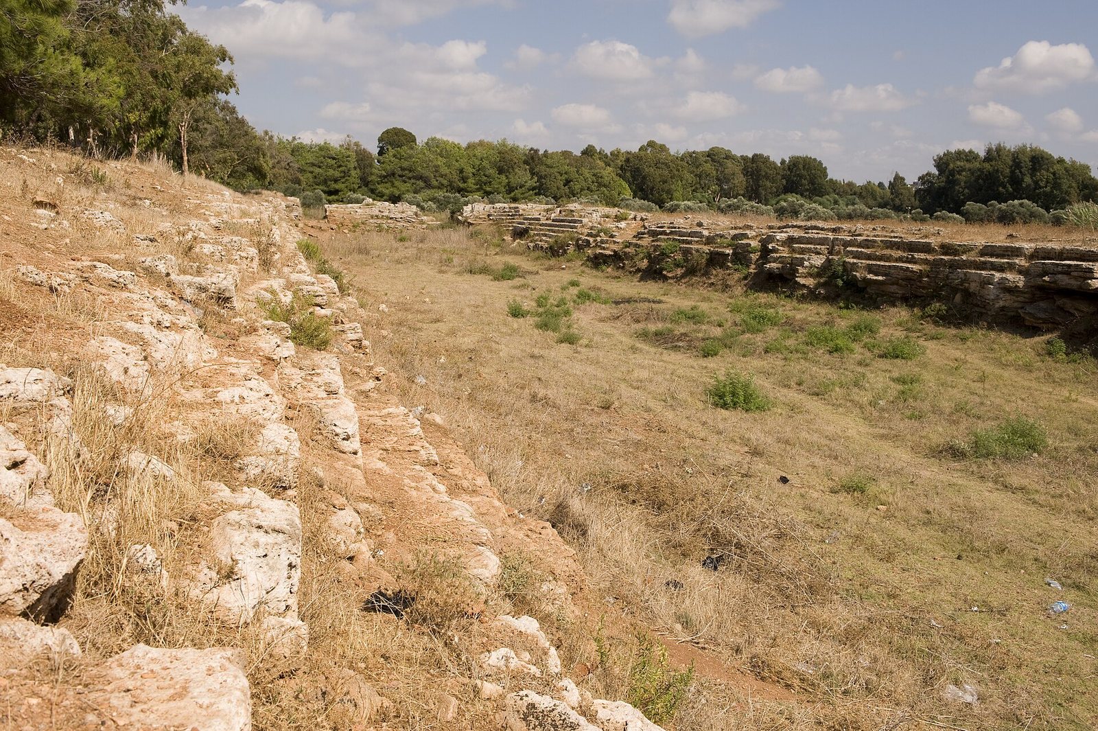
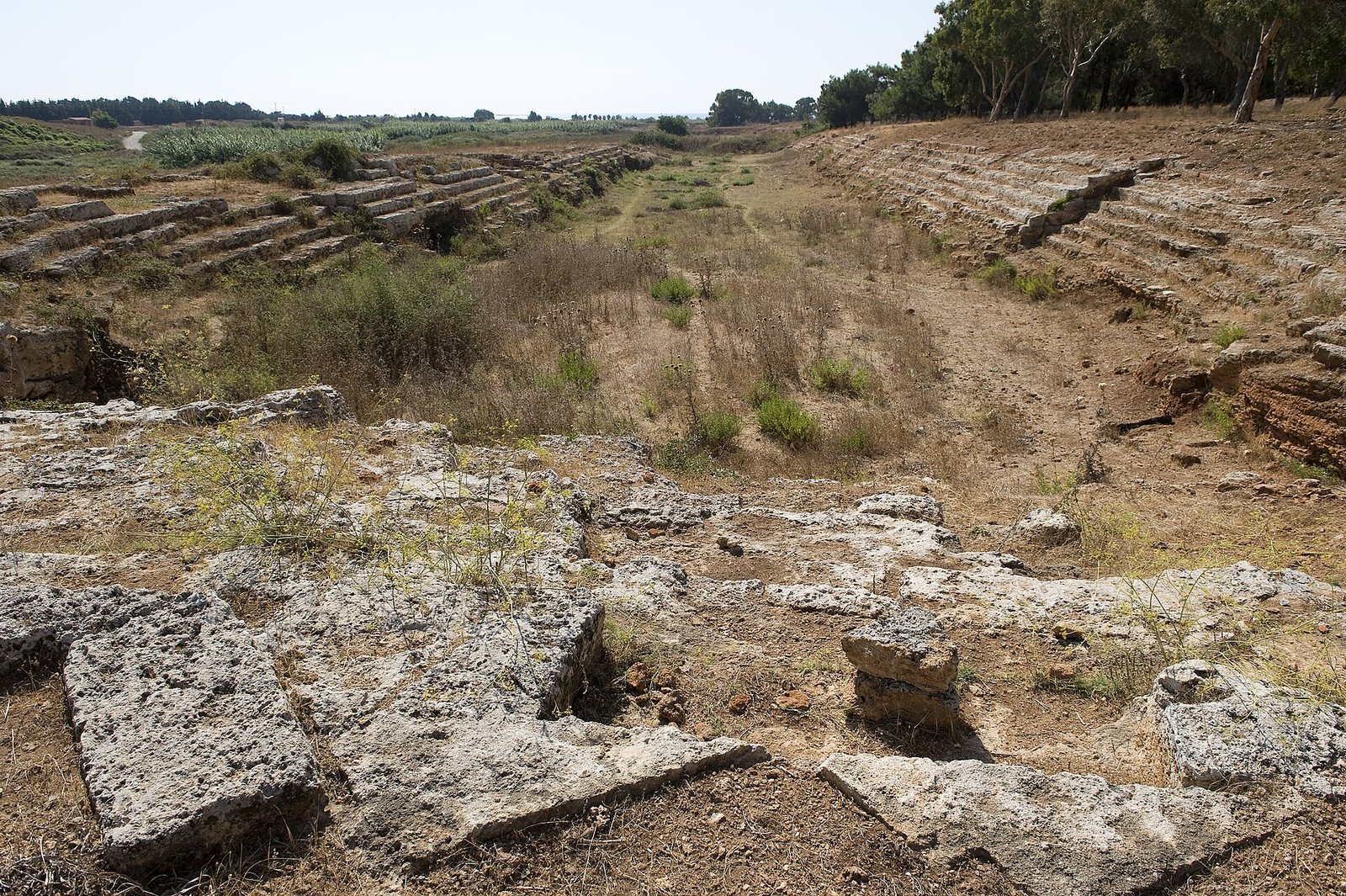
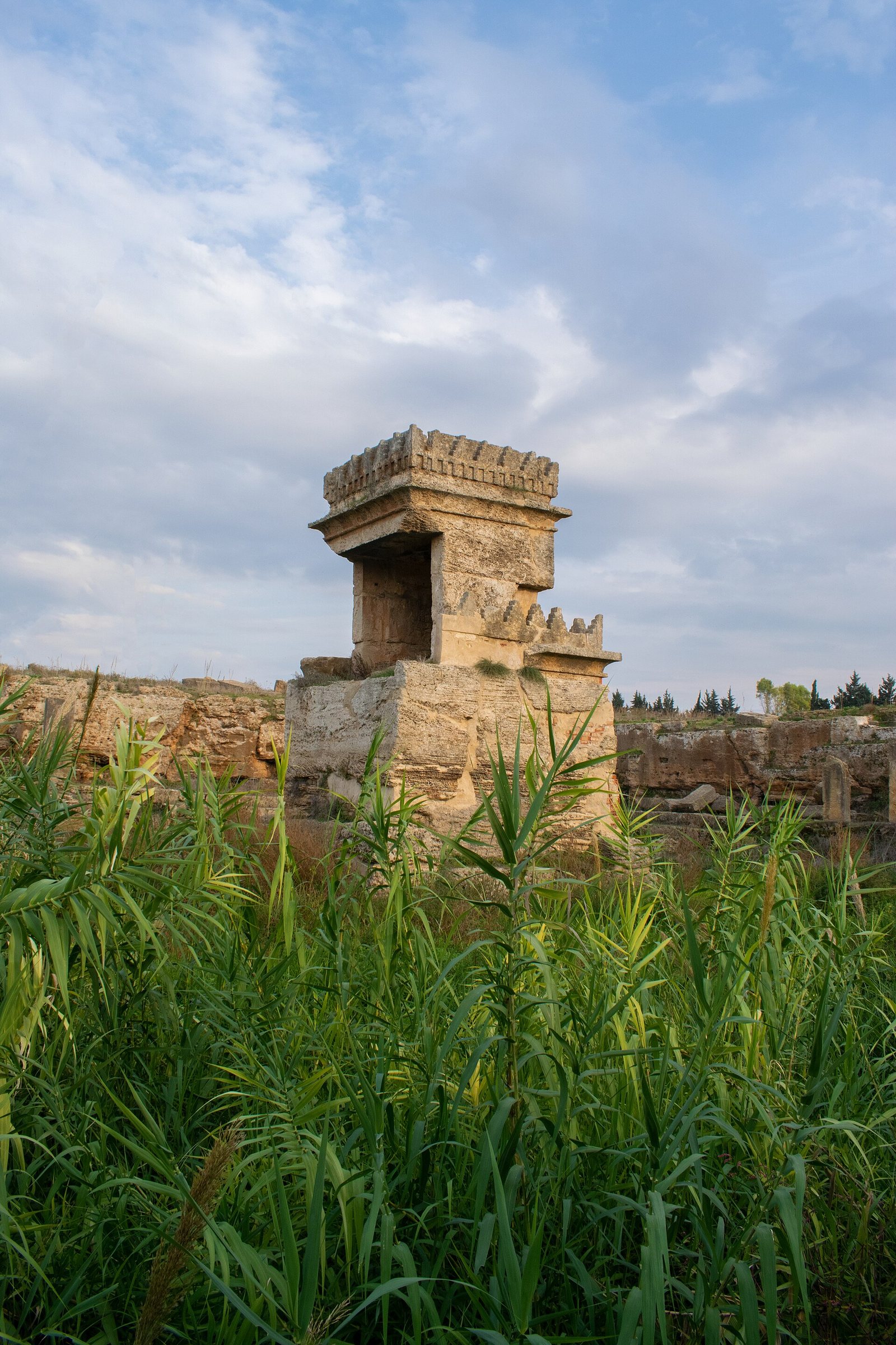
Photos: Dosseman — via Wikimedia Commons (CC BY-SA) · Iyas Hossein — via Wikimedia Commons (CC BY-SA) · Abu 7med — via Wikimedia Commons (CC BY)
Syria Trails — An interactive geographic and heritage atlas of Syria: a map that walks down from the country to the district, landmarks with their story and era, curated trails and a passport for your visits.